Skip Navigation Link
NESDIS banner image and link to NESDIS
SSD Volcano banner image and link to Volcano Products
link to the NOAA Home pageLink to the National Environmental Satellite, Data, and Information Service Home Page Default
DOC / NOAA / NESDIS / OSDPD / SSD
 
Our Mission / Disclaimer / Privacy Policy

Link to Fire ProductsLink to OSEI PagesLink to Precipitation ProductsLink to Satellite InformationLink to Snow ProductsLink to Tropical ProductsLink to Volcano ProductsLink to Winds ProductsLink to Geographical Information System Products  

Anatahan Satellite Imagery


(Text Version for slow connections)

GOES-9 Visible
GOES-9 Visible Image
Previous Image
JAVA Animation (Long) - (Short)
--
GOES-9 IR Ch. 4
GOES-9 IR Ch. 4 Image

Previous Image
JAVA Animation (Long) - (Short)
--
GOES-9 IR Ch. 2
GOES-9 IR Ch. 2 Image

Previous Image
JAVA Animation (Long) - (Short)
--
GOES-9 Split Window
GOES-9 Split Window Image

Previous Image
JAVA Animation (Long) - (Short)
--
GOES-9 3 Channel IR
GOES-9 3 Channel IR Image

Previous Image
JAVA Animation (Long) - (Short)
--
GOES-9 Reflectivity
GOES-9 Reflectivity Image

Previous Image
JAVA Animation (Long) - (Short)
--

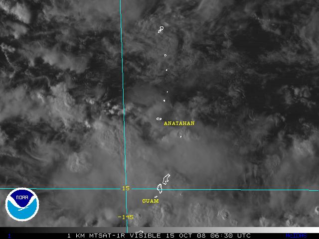
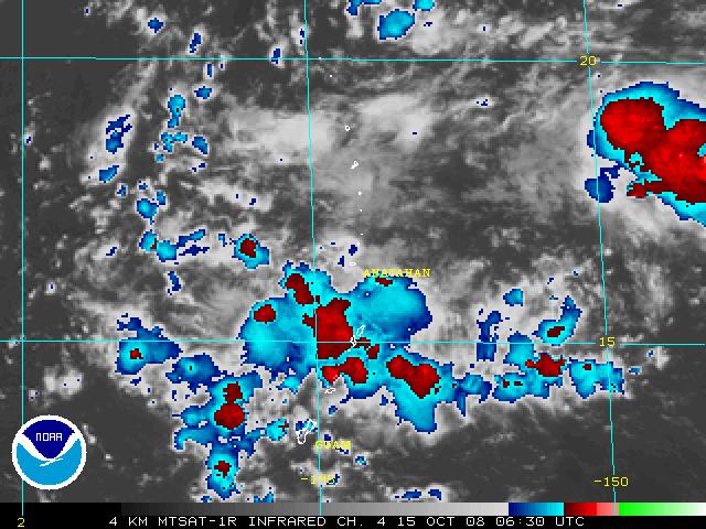
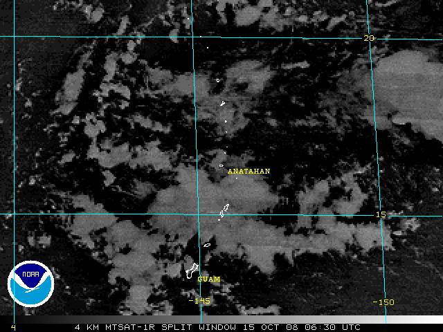
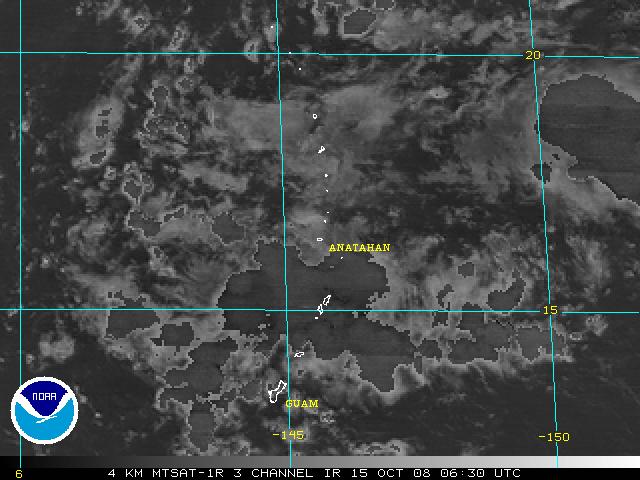
Note: Sectors and Imagery may change without notice. This may be due to an ongoing ash tracking event. If this occurs, Java Loops will not be consistent. It may take a couple of hours for imagery to fill these loops.


Authors: Brian Hughes and Nancy Merckle

External Link Indicator Indicates a link outside the U.S. Government.


Contact Information:
You are Here: http://www.ssd.noaa.gov/VAAC/anat-img.html
 
SSDWebmaster@noaa.gov