If you are using
Navigator 4.x
or
Internet Explorer 4.x
or
Omni Web 4.x
, this site will not render
correctly!
Vis > gallery > hurricanes > Hurricane Visualizations
Hurricane Visualizations
Andrew (1992) | |

|
Costliest hurricane to ever strike the U.S. (Description) |
Emily (1993) | |

|
Grazed the Outer Banks of North Carolina. (Description) Animations: MPEG (7.2 Mb), Quicktime(21 Mb) |
(Typhoon) Tim (1994) | |

|
Early forecast in the western Pacific (Taiwan). |
Gordon (1994) | |

|
Distorted by vertical wind shear, crossed Florida west-to-east. |
Opal (1995) | |

|
Category 5, but weakened before landfall in Florida. (Description) |
Erin (1995) | |

|
Crossed Florida, then made a second landfall. (Description) |
Fran (1996) | |

|
One of two storms to make landfall in the Carolinas this year. (Description) Animations: MPEG (4.4 Mb), Quicktime (12 Mb) |
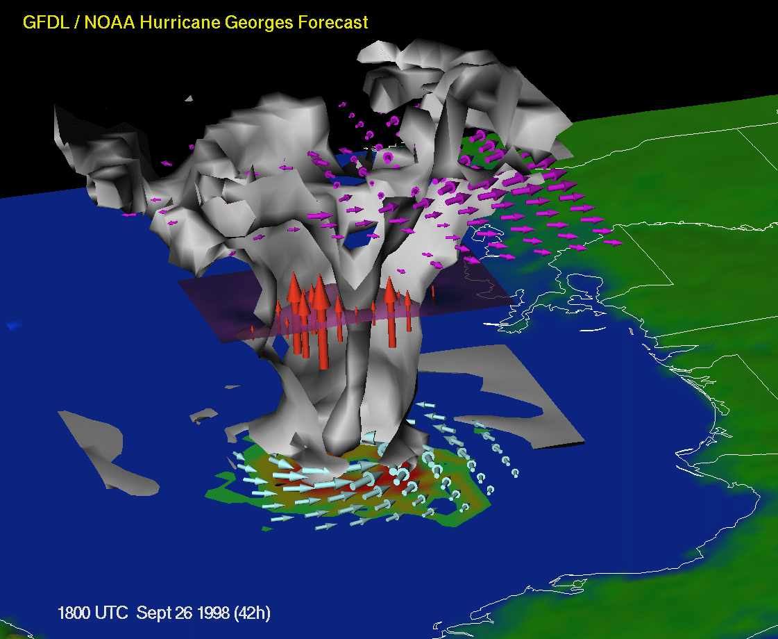
Georges (1998) | |

|
Deadly storm which raked Puerto Rico, Hispaniola, Cuba , and the
Florida Keys, then traversed the Gulf of Mexico to hit the central
Gulf coast. See this
annotated handout
for an explanation on the visualization.
Animations: Panoramic View MPEG (7.4 Mb), AVI (25 Mb) Close-up View MPEG (7.7 Mb), AVI (42 Mb) |
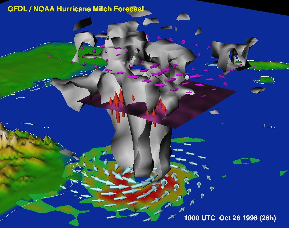
Mitch (1998) | |

|
Deadliest hurricane to hit Central America in 200 years. A category
5 storm at one point, Mitch stalled off the coast of Honduras, then
slowly moved through Central America, causing massive flooding.
Animations: MPEG (8.7 Mb), AVI (32 Mb) |
Floyd (1999) | |

|
One of the costliest hurricanes to ever strike the U.S. See this
annotated handout
for an explanation on the visualization.
TIFF Image (1.3 Mb) Animations: 3D View MPEG (8.3 Mb), AVI (11.6 Mb) Instantaneous Precipitation MPEG (9.4 Mb), AVI (9.9 Mb) Accumulated Precipitation AVI (12.4 Mb) |
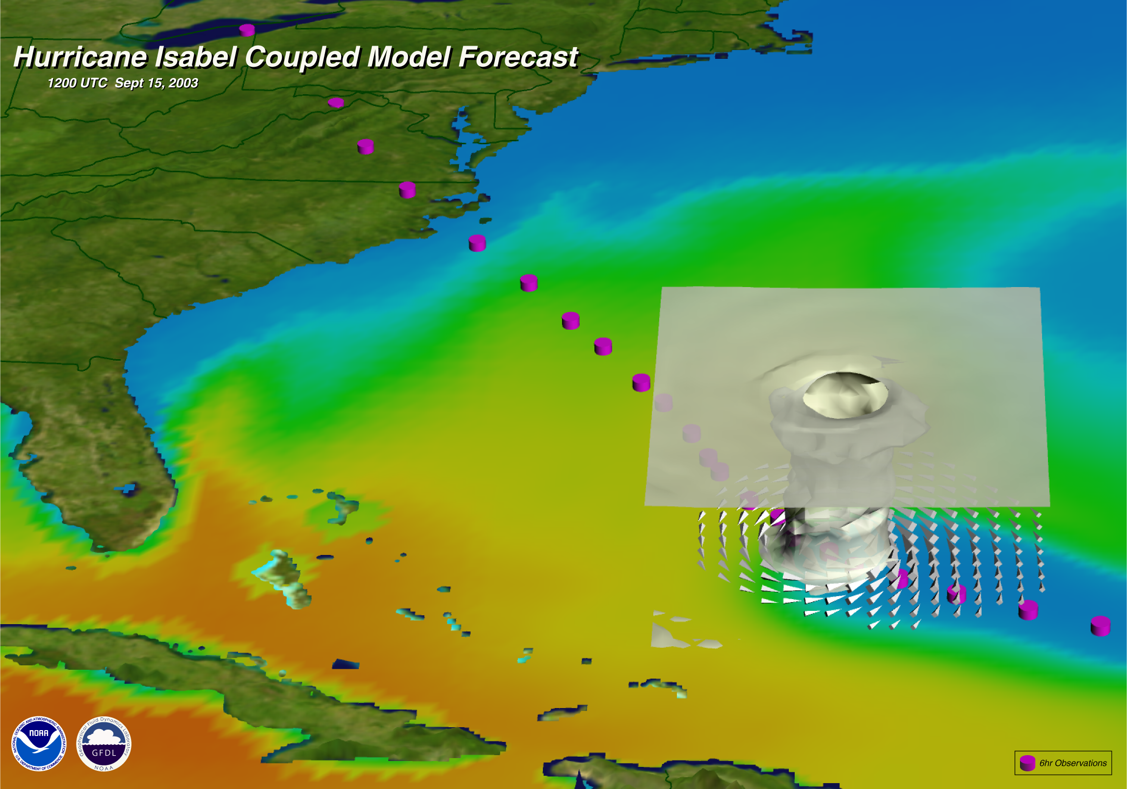
Isabel (2003) | |

|
Hurricane Isabel, which struck the Outer Banks of North Carolina on
September 19th, 2003, caused extensive damage over a large area of the
mid-Atlantic coast stretching from North Carolina to northern Virginia.
|
| More Information | |
| Research Group: | Hurricane Dynamics |
| Presentations: | 1. Progress in Hurricane Forecasting PowerPoint presentation (in HTML form) given at SuperComputing '98; includes visualizations of several hurricanes. |
