| Home › History | ||||
  |
||||
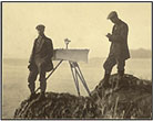
There is an old saying that geography is the eldest daughter of history. Implicit in this expression is the importance of studying how place affects the events that shape our world. Together, history and geography describe time and place. To understand the events and conditions in the past, it is important to consider the context of when and where. Maps can set this graphic context and provide keys to understanding major historic events and more subtle changes over time.
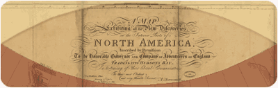
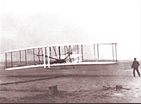
The ever-changing story of Americans, including their ancestry, their schooling, their relative wealth, and their mobility, is revealed by maps based on two centuries of census counts. Natural cataclysmic events that alter the landscape with sudden and terrible ferocity, like the Galveston hurricane of 1900 and the eruption of Mount St. Helens in 1980, are here. Longer term natural phenomena such as drought or glaciation, which affected America's earliest inhabitants, can be expressed effectively with maps. Human political developments, including exploration, territorial expansion, and elections results also greatly affect our ongoing history, and the National Atlas will offer an expanding selection of maps on these topics.  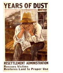
We use the latest of today's technologies to present information from the past. In 1932, John Kirtland Wright noted that "the ideal historical atlas might well be a collection of motion picture maps, if these could be displayed on the pages of a book without the paraphernalia of projector, reel, and screen." Using the National Atlas with today's paraphernalia of computer, monitor, and Internet, you can realize Wright's vision of "motion picture maps." Here you will find animations of change over time, including the spread of invasive species or the change of seasons observed by satellites in space. Our use of dynamic maps to illustrate how history records movement and change continues to expand and improve. Like our restless Nation, the tools we use to map it here in the National Atlas will change to meet your needs and interests. 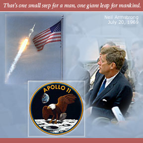 |
||||
National Atlas of the United States® and The National Atlas of the United States of America® are registered trademarks of the United States Department of the Interior Privacy Statement, Disclaimer, Accessibility, FOIA http://nationalatlas.gov/history.html Last modified: April 29, 2008 15:55 |
 |
|

 This
chapter of the National Atlas of the United States® should
be viewed as an aid to students of American history. Although it is not
a history of our country from a geographic viewpoint,it does offer a map-based
framework for understanding and appreciating the effects and influence
of geography yesterday and today. The atlas is a direct result and descendant
of our national efforts to explore and map America's forests, plains,
waterways, and mountains. Here you can appreciate the natural conditions
that fostered or thwarted settlement. You can see how the availability
(or lack) of navigable rivers, timber, game, mineral resources, and arable
land determined expansion and growth.
This
chapter of the National Atlas of the United States® should
be viewed as an aid to students of American history. Although it is not
a history of our country from a geographic viewpoint,it does offer a map-based
framework for understanding and appreciating the effects and influence
of geography yesterday and today. The atlas is a direct result and descendant
of our national efforts to explore and map America's forests, plains,
waterways, and mountains. Here you can appreciate the natural conditions
that fostered or thwarted settlement. You can see how the availability
(or lack) of navigable rivers, timber, game, mineral resources, and arable
land determined expansion and growth.