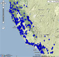
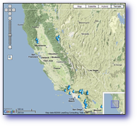
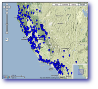
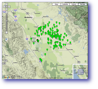
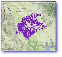
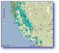
California Water Science Center Site Locations
Real-Time Lake Storage SitesReal-time sites - Current-conditions data transmitted from selected surface-water, ground-water, and lake sites. Values in pop-up bubbles are updated hourly. Additional data for real-time sites. Field measured streamflow and lake sites - Periodic manual measurements of streamflow and gage height at streamflow and lake sites. These measurements are often used to supplement and (or) verify the accuracy of the time-series measurements. The last value available is shown in the pop-up bubble for each site. Additional data for surface-water sites. Data are provisional and subject to revision. Data Portals |

![]() U.S. Department of the Interior |
U.S. Geological Survey
U.S. Department of the Interior |
U.S. Geological Survey
URL: http://ca.water.usgs.gov/gmaps/lk_rt_map.html
Page Contact Information: GS-W-CAdist WWW
Page Last Modified: Tuesday, 22-Jul-2008 17:00:41 EDT