
Flood mapping is an important part of the National Flood Insurance Program (NFIP), as it is the basis of the NFIP regulations and flood insurance requirements. FEMA's flood mapping program is called Risk Mapping, Assessment, and Planning, or Risk MAP.
FEMA maintains and updates data through flood maps and risk assessments.
Sign up for emails to keep up with the latest developments in flood mapping.
How to View and Obtain Flood Maps
The FEMA Flood Map Service Center (MSC) is the official online location to find all flood hazard mapping products created under the NFIP, including your community’s flood map.
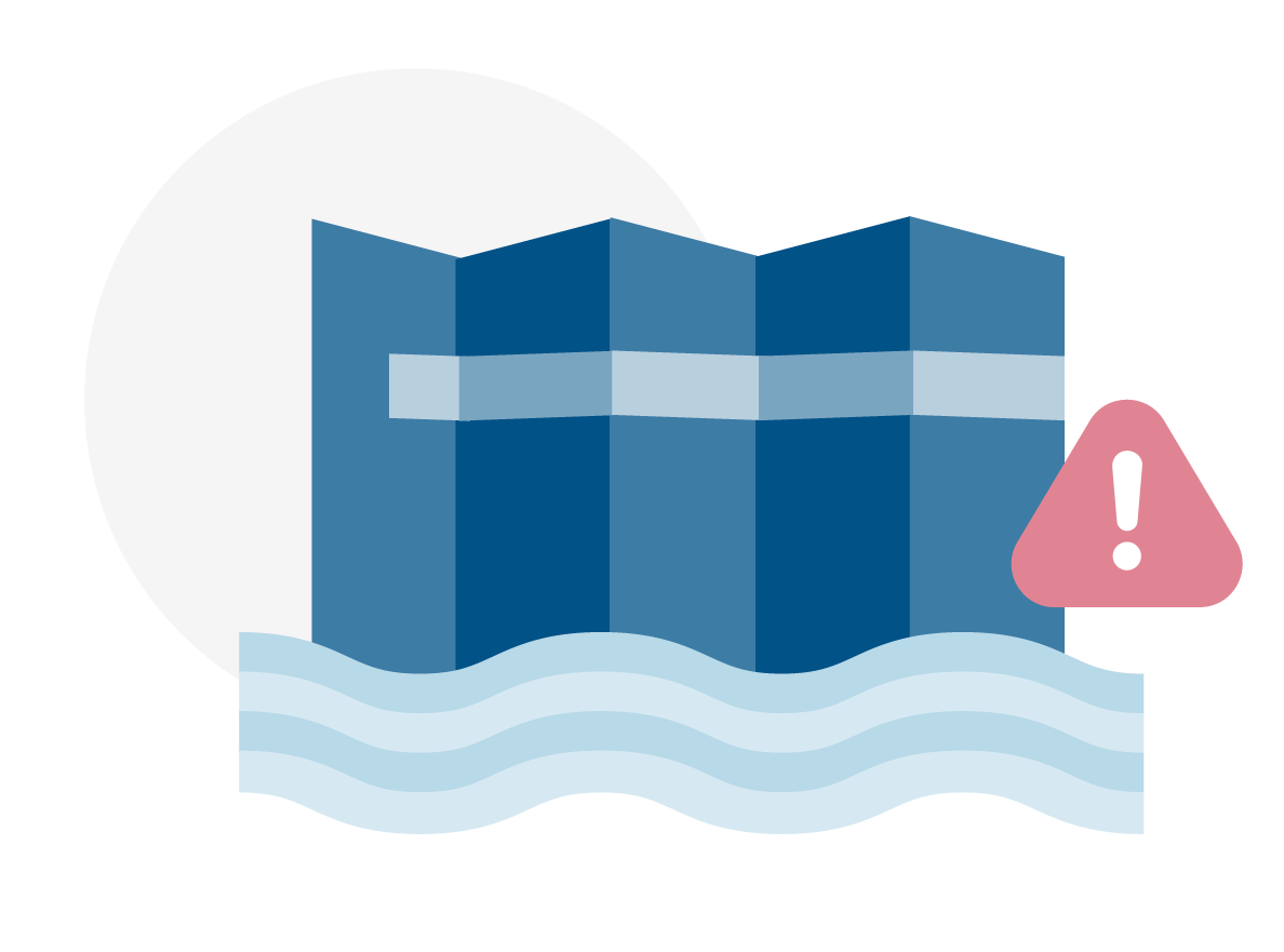
Change Your Flood Zone Designation
If you believe your property was incorrectly identified as a Special Flood Hazard Area, you may submit an application to FEMA for a formal determination and potential revision. This is called a Letter of Map Change (LOMC) request.
Products and Tools
Regulatory Flood Map Products
Learn about regulatory flood map products and access flood maps, Flood Insurance Studies, and FIRM databases.
GIS and Other Products
Manage data with Preliminary Flood Hazard Data, National Flood Hazard Layer, and Hazus.
Risk Mapping, Assessment and Planning (Risk MAP)
These products provide a more user friendly analysis of flood risks within a Risk MAP project.
Tools to Help Use Products
Guidance and Partners
Guidelines & Standards
View Risk MAP guidelines and standards for flood risk analysis and mapping activities
Notices to Congress
FEMA provides a monthly summary to Congress providing details on flood risk mapping activities.
Advisory Council
Read about the Technical Mapping Advisory Council, a federal advisory committee.
Cooperating Technical Partners
Cooperating Technical Partners are communities, regional agencies, state agencies, universities and tribal nations that become more active participants in the FEMA flood hazard mapping program.
Manage Risk
Levee Flood Risk
To help understand the realities of levee risk, FEMA provides community outreach tools and construction guidelines related to levee risk.
Coastal Flood Risk
To help coastal communities understand and reduce their flood risk, FEMA has initiated coastal flood risk studies for 100 percent of the populated coastline.
Know Your Risk
Tips for homeowners, community officials, engineers, insurance professionals and other stakeholder groups about understanding risk.
Contact Us
For additional information or assistance, contact a Map Specialist in the FEMA Mapping and Insurance eXchange (FMIX).
Sign up for emails to receive flood hazard mapping updates.