
Central Midwest Water Science Center
Home
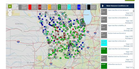
Welcome to the Central Midwest Water Science Center’s (CMWSC) Website. We offer information on streamflow, water quality, water-use, and groundwater data for Illinois, Iowa, and Missouri. We conduct unbiased, scientific hydrologic investigations & research projects to effectively manage CMWSC and our Nation's water resources through joint efforts with our partners.

News

USGS Unveils Mobile Flood Tool for the Nation
The U.S. Geological Survey announced Friday the completion of a new mobile tool that provides real-time information on water levels, weather and flood forecasts all in one place on a computer, smartphone or other mobile device.

USGS Responds to Spring Flooding
U.S. Geological Survey field crews are measuring flooding across the country as spring weather is in full swing. Warming temperatures, increased precipitation and snowmelt have caused moderate to major flooding in the upper Midwest, East Coast, Central Plains and the Southeast portions of the country.

USGS Mobile Water Quality Sensor on Mississippi River Boat
U.S. Geological Survey expands its network of water-quality sensors to include the American Queen Steamboat as she travels the entire length of the Mississippi River collecting nutrient levels and water-quality data along the way. (Image Courtesy: Iowa Public Radio, Iowa City, Iowa, limited use USGS only)
Publications

Quality of surface water in Missouri, water year 2019
The U.S. Geological Survey, in cooperation with the Missouri Department of Natural Resources, designed and operates a network of monitoring stations on streams and springs throughout Missouri known as the Ambient Water-Quality Monitoring Network (AWQMN). During water year 2019 (October 1, 2018, through September 30, 2019), water-quality data were...
Kay, Robert T.
The use of continuous water-quality time-series data to compute total phosphorus loadings for the Turkey River at Garber, Iowa, 2018–20
In support of nutrient reduction efforts, total phosphorus loads and yields were computed for the Turkey River at Garber, Iowa (U.S. Geological Survey station 05412500), for January 1, 2018, to April 30, 2020, based on continuously monitored turbidity sensor data. Sample data were used to create a total phosphorus turbidity-surrogate model....
Garrett, Jessica D.
Procedures and best practices for trigonometric leveling in the U.S. Geological Survey
With the advent of highly precise total stations and modern surveying instrumentation, trigonometric leveling has become a compelling alternative to conventional leveling methods for establishing vertical-control networks and for perpetuating a datum to field sites. Previous studies of trigonometric-leveling measurement uncertainty proclaim that...
Noll, Michael L.; Rydlund, Jr., Paul H.