
National Geospatial Technical Operations Center
NGTOC - Denver, CO and Rolla, MO
Home
The U.S. Geological Survey National Geospatial Technical Operations Center (NGTOC) provides leadership and world-class technical expertise in the acquisition and management of trusted geospatial data, services, and map products for the Nation. NGTOC supports The National Map as part of the National Geospatial Program (NGP).
The National Map
The National Map is a collaborative effort among the USGS and partners to improve and deliver topographic information for the Nation. The NGTOC creates, maintains and publishes the products and services of The National Map.
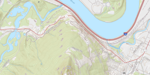
Products & ServicesThe National Map - Data Delivery

This site provides applications and web map services for "Topographic Information for the Nation". This information includes topographic maps and geographic information system (GIS) data
View mapsThe National Map Training Videos

The National Geospatial Program has released a series of “how to” videos for people who are working with The National Map data and services. The videos show how to use the services and interfaces to access data and tools.
Visit videos pageNews

TNMCorps Mapping Challenge Summary Results for Cemeteries in Southeast MO
Summary statistics are now available for this challenge. Thanks again to everyone who contributed!

TNMCorps Mapping Challenge Summary Results for City / Town Halls in IL & MO
Summary statistics are now available for this challenge. Thanks again to everyone who contributed!

Mapping Challenge Update (12/10/20): Schools in MO
Calling all Peer Reviewers! There are several Missouri schools with a green border that need to be reviewed!
Publications

Elevation-derived hydrography acquisition specifications
Hydrographic features derived from U.S. Geological Survey (USGS) 3D Elevation Program data, and collected for use by the USGS, must meet the specifications described in this document. The specifications described herein pertain to the final product delivered to the USGS, not to methods used to derive the hydrographic features. The specifications...
Terziotti, Silvia; Archuleta, Christy-Ann
Elevation-derived hydrography—Representation, extraction, attribution, and delineation rules
With the increasing availability of 3D Elevation Program (3DEP) quality high resolution elevation data across the United States and the pressing need for better integrated elevation and hydrography data, the U.S. Geological Survey is developing guidance to improve the horizontal and vertical alignment of these datasets. The U.S. Geological Survey...
Archuleta, Christy-Ann; Terziotti, Silvia
Analysis for agreement of the Northern Gulf of Mexico topobathymetric digital elevation model with 3-Dimensional Elevation Program 1/3 arc-second digital elevation models
Topographical differencing and edge-matching analyses were used to evaluate agreement of the Coastal National Elevation Database Applications Project’s Northern Gulf of Mexico topobathymetric digital elevation model (TBDEM) with The National Map 3-Dimensional Elevation Program (3DEP) 1/3 arc-second digital elevation models (DEMs). In addition to...
Miller-Corbett, Cynthia