
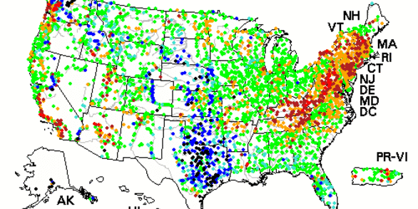
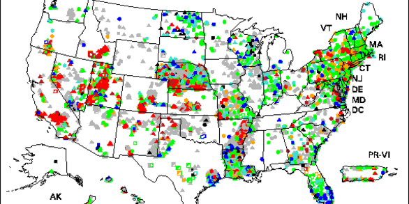
Groundwater and Streamflow Information Program
Home
The Groundwater and Streamflow Information Program (GWSIP) serves as the national source of impartial, timely, rigorous, and relevant data for short- and long-term water decisions by stakeholders across the United States. In 2018, the USGS began piloting the Nation’s next-generation integrated water observing system that will provide high-fidelity, real-time data on water quantity and quality.
GWSIP Quick Links
Explore some of our most popular data, tools, and science:
News

USGS Program Tackles Complex Water Questions
The U.S. Geological Survey has chosen the Illinois River Basin as the next watershed to be studied by its scientists as part of a large-scale effort to better understand the nation’s water systems.

USGS Unveils Mobile Flood Tool for the Nation
The U.S. Geological Survey announced Friday the completion of a new mobile tool that provides real-time information on water levels, weather and flood forecasts all in one place on a computer, smartphone or other mobile device.

Hurricane Laura Temporarily Reverses Neches River
As Hurricane Laura came ashore near the Texas and Louisiana borders, its strong winds pushed so much water ahead of it that the Neches River even flowed backwards for a time, according to a USGS streamgage in Beaumont.
Publications
Guidelines for determining flood flow frequency—Bulletin 17C
Accurate estimates of flood frequency and magnitude are a key component of any effective nationwide flood risk management and flood damage abatement program. In addition to accuracy, methods for estimating flood risk must be uniformly and consistently applied because management of the Nation’s water and related land resources is a collaborative...
England, John F.; Cohn, Timothy A.; Faber, Beth A.; Stedinger, Jery R.; Thomas, Wilbert O.; Veilleux, Andrea G.; Kiang, Julie E.; Mason,, Robert R.
Predicting attenuation of salinized surface- and groundwater-resources from legacy energy development in the Prairie Pothole Region
Oil and gas (energy) development in the Williston Basin, which partly underlies the Prairie Pothole Region in central North America, has helped meet U.S. energy demand for decades. Historical handling and disposal practices of saline wastewater co-produced during energy development resulted in salinization of surface and groundwater at numerous...
Preston, Todd M.; Anderson, Chauncey W.; Thamke, Joanna N.; Hossack, Blake R.; Skalak, Katherine; Cozzarelli, Isabelle M. Characterizing groundwater/surface-water interaction using hydrograph-separation techniques and groundwater-level data throughout the Mississippi Delta, USA
The Mississippi Delta, located in northwest Mississippi, is an area dense with industrial-level agriculture sustained by groundwater-dependent irrigation supplied by the Mississippi River Valley Alluvial aquifer (alluvial aquifer). The Delta provides agricultural commodities across the United States and around the world. Observed declines in...
Killian, Courtney D.; Asquith, William H.; Barlow, Jeannie R. B.; Bent, Gardner C.; Kress, Wade; Barlow, Paul M.; Schmitz, Darrel W.