NSSL Fact Sheets
These fact sheets provide a brief overview of NSSL and some of the laboratory's research activities.
2020 Fact Sheets
- NSSL Overview
- NSSL serves the nation by working to improve the lead time and accuracy of severe weather warnings and forecasts in order to save lives and reduce property damage. [.pdf, 3 MB] Updated 17 Sep 2020
- The Future of Weather Radar
- For more than 50 years, NSSL has led the nation with ingenuity and creativity to push radar technology to the edge. [.pdf, 2.2 MB] Updated 17 Sep 2020
Forecast and warning research
- Forecast and Warning Improvements
- NSSL studies thunderstorms from many different points of view. [.pdf, 431 kB] Updated 9 Mar 2012
- FACETs
- A proposed next-generation, severe weather forecasting concept that is modern, flexible, and designed to communicate user-specific, understandable weather threat information. [.pdf, 631 kB] Updated 1 Sep 2015
- Warn-on-Forecast
- Forecasting severe weather before the threat is ever detected. [.pdf, 1.4 MB] Updated 24 Jul 2019
- MRMS (Multiple Radar/Multiple Sensor)
- A new system developed by NSSL and recently activated by NOAA’s National Weather Service, MRMS quickly harnesses the tremendous amount of weather data from multiple sources, intelligently integrates the information, and provides a detailed picture of the current weather. MRMS will improve the ability of forecasters to issue public warnings and advisories for severe weather such as tornadoes, hail and flash floods, and will help improve forecasts for safety of air traffic. [.pdf, 2.9 MB] Updated 16 Mar 2015
- NOAA Hazardous Weather Testbed
- The NOAA HWT targets developing, testing and evaluating severe weather forecast and warning techniques throughout the U.S. [.pdf, 207 kB] Updated 9 Mar 2012
- Field Research Projects
- NSSL researchers know the best way to learn about the nature of severe storms and their hazards is to observe them when and where they happen. [.pdf, 177 kB] Updated 9 Mar 2012
- Field Research Equipment
- NSSL has been a pioneer in designing innovative field research equipment used for taking measurements of hazardous weather. [.pdf, 167 kB] Updated 9 Mar 2012
- PECAN
- Plains Elevated Convection At Night (PECAN) is a large, intensive field project to collect data before and during nighttime thunderstorms in the arid western Great Plains from June 1 to July 15, 2015. [.pdf, 1.4 MB] Updated 19 May 2015
- VORTEX-SE
- The Verification of the Origins of Rotation in Tornadoes EXperiment-Southeast, or VORTEX-SE, is a collaborative effort aimed at researching storms and conditions producing tornadoes in the U.S. Southeast, along with how people learn of severe weather threats and how they respond to protect their lives and property. [.pdf, 1.4 MB] Updated 20 Jul 2019
- VORTEX2
- NSSL was a part of the largest and most ambition attempt to explain tornadoes—their origins, structure and evolution. [.pdf, 261 kB] Updated 9 Mar 2012
Weather Radar Research & Improvements
- The Future of Weather Radar
- For more than 50 years, NSSL has led the nation with ingenuity and creativity to push radar technology to the edge. [.pdf, 2.2 MB] Updated 17 Sep 2020
- Radar: Research to Operations
- Timeline of NSSL's accomplishments in the field of radar research, and history of putting radar to work, observing and predicting severe weather. [.pdf, 1.5 MB] Updated 18 Jul 2014
- Multi-Function Phased Array Radar (MPAR)
- Multi-function phased array radar can quickly scan the weather while detecting and tracking aircraft. [.pdf, 1 MB] Updated 16 Mar 2015
- Dual-Polarization Technology
- A major upgrade to existing radars giving forecasters more precise information to accurately diagnose severe weather. [.pdf, 1.1 MB] Updated 1 May 2014
- mPING
- Meteorological Phenomena Identification Near the Ground (mPING) is a project designed to collect weather information from the public through their smart phone or mobile device with GPS location capabilities. [.pdf, 458 kB] Updated 21 Apr 2014
Hydrometeorology
- FLASH
- The primary goal of the FLASH project is to improve the accuracy, timing, and specificity of flash flood warnings in the U.S., thus saving lives and protecting infrastructure. [.pdf, 1.6 MB] Updated 18 Jul 2014
- CI-FLOW
- The Coastal and Inland FLooding Observation and Warning (CI-FLOW) project is a multi-agency research project to provide total water level forecasts in coastal areas. [.pdf, 1.75 MB] Updated 16 Oct 2014
NSSL Outreach
- Outreach and Communications
- NSSL conducts, develops, supports, promotes and coordinates formal and informal educational activities at all levels to enhance public awareness and understanding of severe weather and severe weather research. [.pdf, 154 kB] Updated 9 Mar 2012
- Twister Science
- How NSSL's research provided inspiration for the movie, Twister. [.pdf, 317 kB] Updated 9 Mar 2012
Additional Related Topics
- CIMMS Overview
- Information about the Cooperative Institute for Mesoscale Meteorological Studies, a NOAA/University of Oklahoma joint research institute. [.pdf, 341 kB] Updated 9 Mar 2012
- NOAA Weather Partners
- Information about the consortium of five NOAA agencies located in Norman, Oklahoma [.pdf, 250 kB] Updated 9 Mar 2012
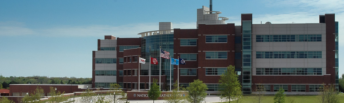
- National Weather Center Fact Sheet
- Home to the National Severe Storms Laboratories, the University of Oklahoma School of Meteorology, and several other federal and state agencies. [.pdf, 254 kB] Updated 9 Mar 2012
- NOAA Backgrounders