CMECS Crosswalk Tool
NOAA Office for Coastal Management
Overview
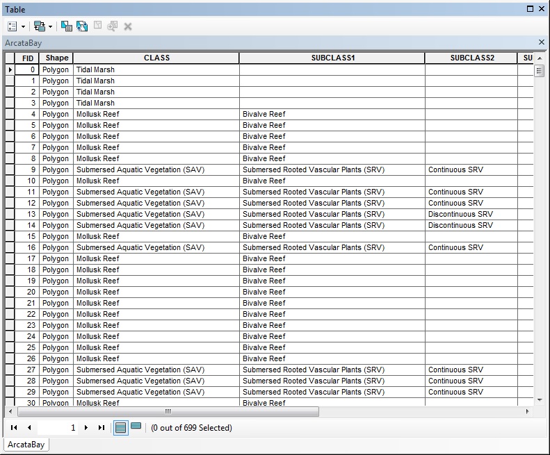
This tabular analysis tool translates existing spatial benthic habitat data sets into output data compliant with the Coastal and Marine Ecological Classification Standard, or CMECS. The tool runs in ArcMap and is initiated within the ArcToolbox menu as a .tbx file.
Requires ArcGIS software
Features
- Crosswalk benthic source data to CMECS equivalents
- Create a file geodatabase containing CMECS component feature layers