SURFACE-LAYER METEOROLOGY
Surface-layer meteorological parameterizations used in current weather and climate models (computer models that attempt to simulate the atmosphere over hourly to decadal timescales) are based on empirical fits of sparse, idealized observations made decades ago. Scientists at ATDD are performing research to improve the measurement and theoretical basis on which these parameterizations are based. Research is focused on answering fundamental questions such as:
- What measurement height should be used to evaluate large-scale model performance?
- How do you define common surface-layer quantities (e.g., roughness length, zero-plane displacement) to make models more accurate?
- How does the lowest model level relate to measurement heights on common observation platforms?
- What should be the distance and time scales over which to measure skin temperature to better compare with models?
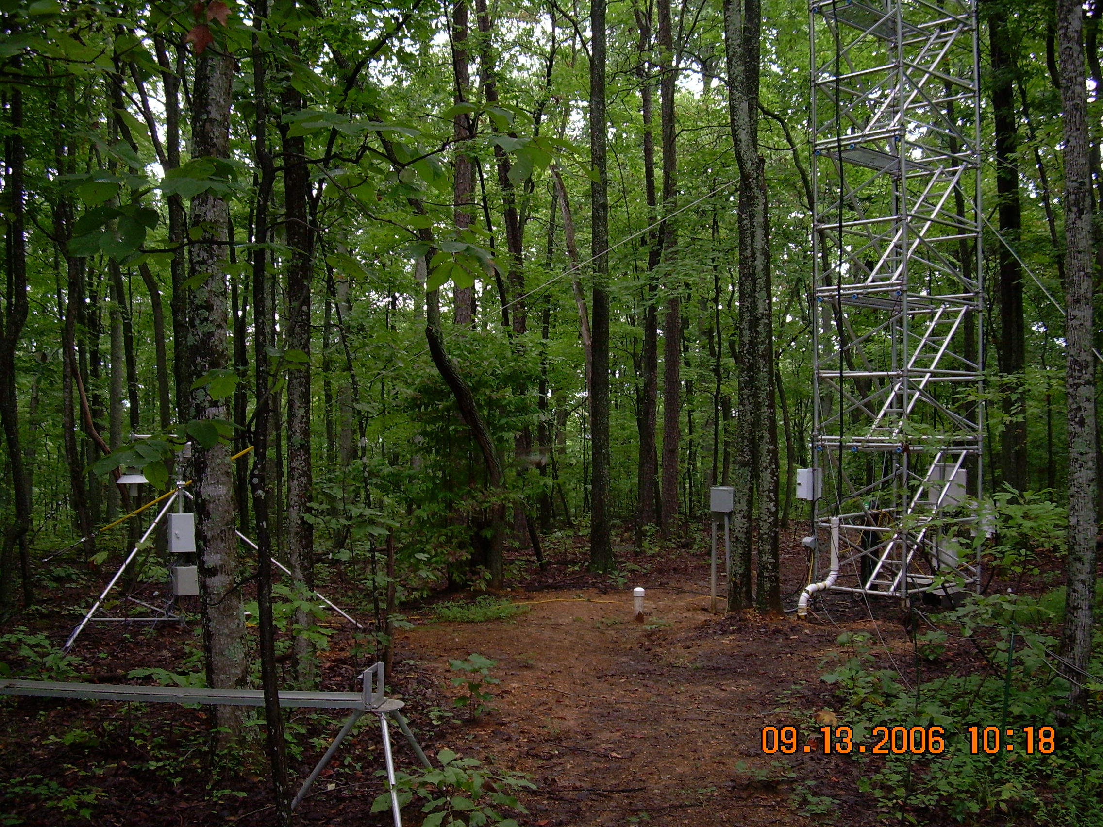
The meteorological observation tower that ATDD operates at Chestnut Ridge provides an ideal and convenient platform for ATDD scientists to perform long-term measurements to help answer some of these questions. Measurements from the Chestnut Ridge tower are archived at ATDD with real-time display provided here.
As part of this research, ATDD has partnered with NOAA’s National Centers for Environmental Prediction (NCEP) at the NOAA Center for Weather and Climate Prediction (NCWCP) in College Park, MD, to use data from Chestnut Ridge to provide an evaluation of the current operational North America Mesoscale (NAM) model forecast, from both the standard 12 km forecast and a high-resolution 4 km forecast product. ATDD has developed a web site that provides a continuous display of forecast accuracy for the two operational products against observations from the Chestnut Ridge tower. These evaluations are being used to improve weather forecasts that are generated from the NAM suite of models.

Chestnut ridge

Chess Tower

