THUNDERSTORM INITIATION
Forecasting when and where thunderstorms will occur is a challenging forecasting problem. In the absence of large scale forcings (e.g., cold fronts and other synoptic features), land surface forcings that lead to the formation of thunderstorms (termed convective initiation or CI by scientists) can be very subtle and occur at timescales ranging from a few minutes to an hour. Improving the representation of these forcings in weather forecast models requires high temporal resolution meteorological measurements, field experiments, and state-of-the-art high resolution computer models of the atmosphere.
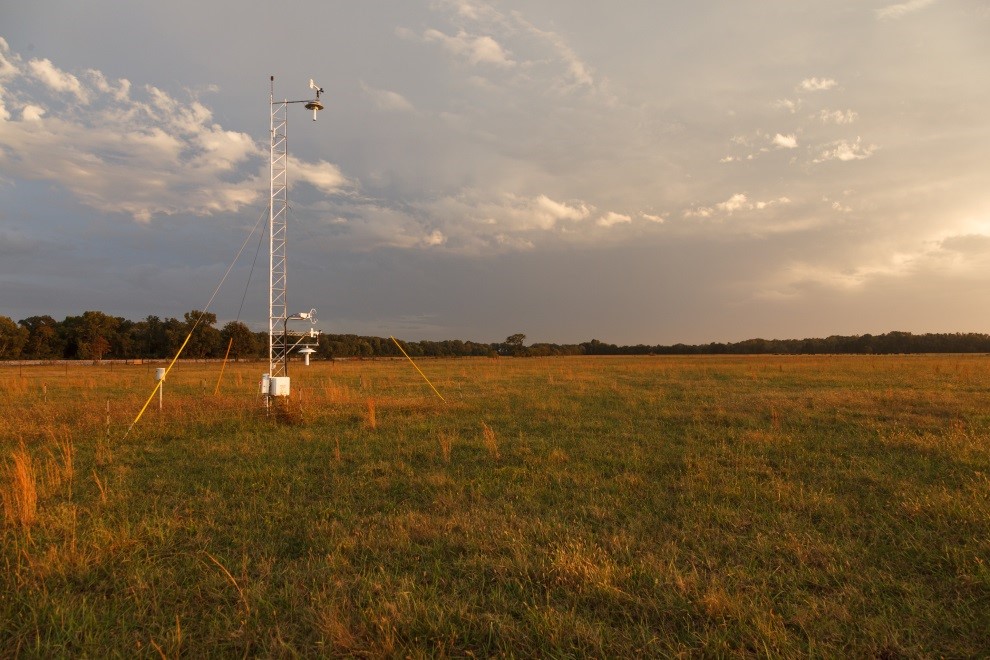
To this end, researchers from ATDD installed a suite of meteorological instruments about twenty miles west of Huntsville, Alabama. Observing platforms included four 30 foot towers outfitted with a suite of instruments to measure temperature, humidity, wind speed and direction, incoming and outgoing shortwave and longwave radiation, pressure, rainfall, and sensible and latent heat fluxes. Additionally, a microwave radiometer was installed to obtain continuous profiles of temperature and moisture over the lowest 1.5 miles of the atmosphere, and a wind lidar was deployed to obtain profiles of wind speed, wind direction, and vertical velocity. To complement these long-term measurements, ATDD researchers conducted several field experiments in 2014 and 2015. These experiments included the use of weather balloons and an instrumented unmanned aerial system to make profiles of the atmosphere under meteorological conditions favoring CI. Observations collected from these different measurement platforms are being used by ATDD researchers to initialize numerical simulations to investigate how different partitions of surface heat and moisture fluxes lead to the development of coherent boundary layer circulations that can enhance CI.
Recent results from this research indicate that variances in water vapor and pressure show significant increases during the 1-2 hours preceding CI and thus may be used as a predictor for thunderstorm development. Numerical simulations indicate that CI was more sensitive to sensible heat variations than to latent heat variations, and that certain thresholds of spatial scale are necessary to enhance CI. This knowledge, coupled with additional computer simulations, will hopefully lead to more accurate forecasts of when and where thunderstorms may occur.

Thunderstorm over South Cuba

Meteorological tower installed in 2014 near Belle Mina, Alabama.

