


Global Ecosystem Dynamics Investigation (GEDI)
High resolution laser ranging of Earth’s forests and topography from the International Space Station (ISS)
High resolution laser ranging of Earth’s forests and topography from the International Space Station (ISS)
THE MISSION SCIENCE
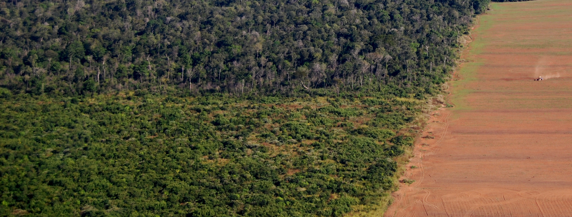
GEDI will provide answers to how deforestation has contributed to atmospheric CO2 concentrations, how much carbon forests will absorb in the future, and how habitat degradation will affect global biodiversity.>>
THE INSTRUMENT & PLATFORM
GEDI observes nearly all tropical and temperate forests using a self-contained laser altimeter on the International Space Station.>>
Applications of GEDI Data Products
GEDI’s data are of immense value for forest and water resource management, carbon cycle science, and weather prediction.>>
Recent News

GEDI Team Members in the
GEDI Team Members in the Spotlight
One Year of Data!
One full year of data
New Article Published!
New Article in Journal of Global Ecology and Biogeography!
