National Mine Map Repository (NMMR)
Celebrating 50 years of Mapping!
Mining and mapping have changed a lot over the past 50 years. Hand drawn mine maps from the 1800s have been replaced by three-dimensional computer-drafted models. Layering transparencies over topographic maps has been replaced by GIS.

The Federal Coal Mine Health and Safety Act (the Coal Act) of 1969 was signed into law by President Richard Nixon on December 30, 1969. The law established a mine map repository, which later became known as the National Mine Map Repository (NMMR), to maintain and archive every closed and abandoned mine map within the United States. The NMMR, which became part of the Office of Surface Mining Reclamation and Enforcement (OSMRE) in 1982, is the only federal program of its kind in the nation. NMMR's mission is to provide federal, state and local partners as well as private industry with the best geographic data on old mines. NMMR’s archived maps help communities avoid health and safety risks and aid in making informed economic and land use decisions.
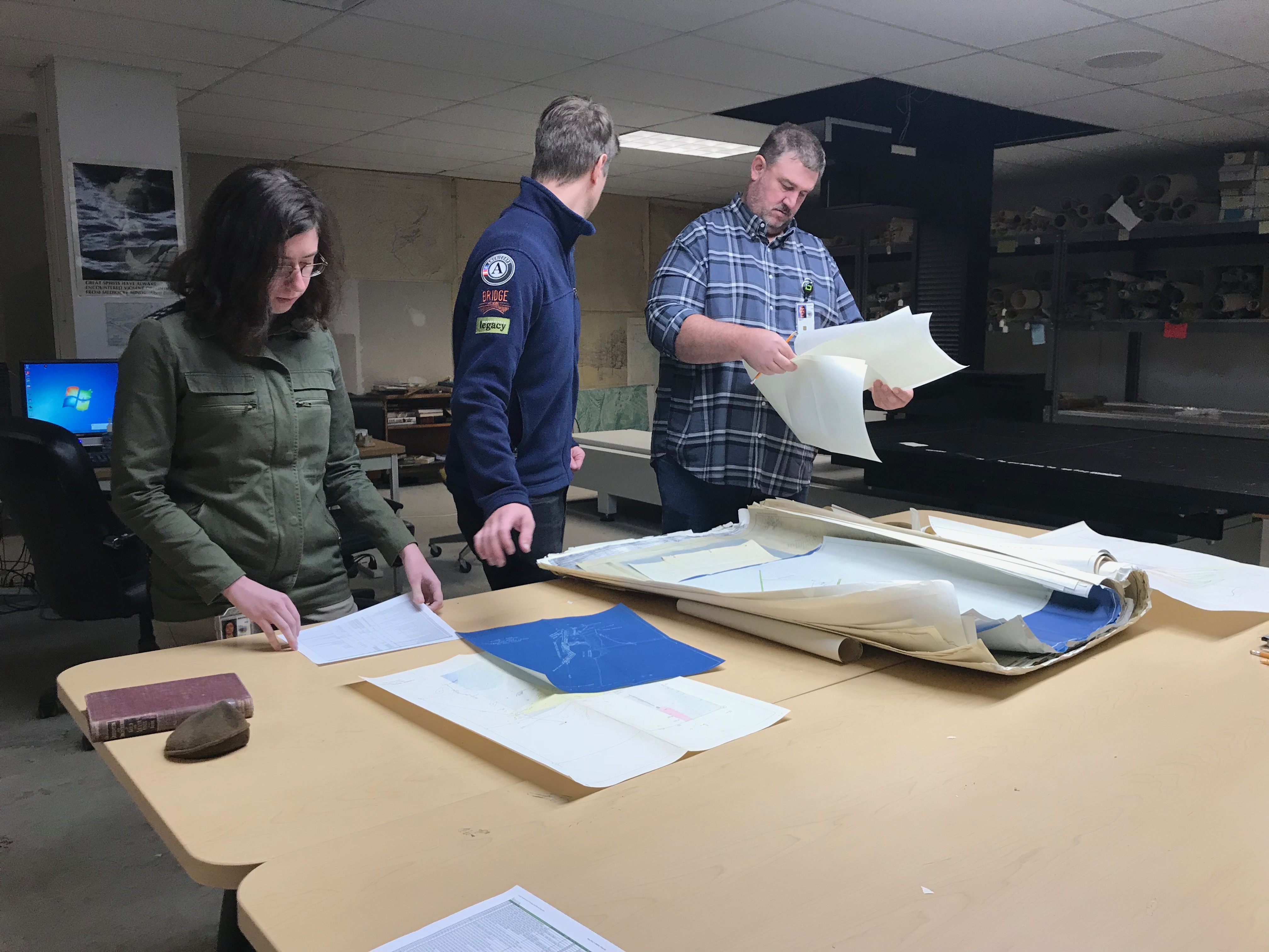
Over the past 50 years, the NMMR has collected and archived over 150,000 mine maps. The collection includes everything from bituminous and anthracite coal to garnet and gold. Though the NMMR still keeps copies of its collection on microfilm, film cameras have been replaced by some of the world’s largest digital art scanners. These scanners capture every detail on these one-of-a-kind maps, from a common eraser mark to a random loose thread.
Throughout 2020, OSMRE’s National Mine Map Repository will be celebrating 50 years by sharing its history, accomplishments, and plans for the future.
Looking for a map? Visit the National Mine Map Repository (NMMR) website to search the Mine Map Index system.
Telling Our Story

The National Mine Map Repository Story Map
The NMMR Story Map was created to illustrate the story of the NMMR and its mission. Click here to read the story and follow us on Twitter @minemaps for updates and information on the collection!
[Text-Only Story Map Version]
Our Mission and Responsibilities
The NMMR mission is to provide Federal agencies, State and local partners, private industry and private citizens with mine maps and mining related information. The archived maps have commonly been used to aid in environmental remediation, construction projects, actuarial analysis for mine subsidence insurance, resource extraction planning, mining disaster support, and historic preservation.
In order to achieve its mission, the NMMR obtains and preserves mine maps and mine map information from throughout the country. It serves as a clearinghouse for all closed or abandoned mine map data, including hard rock and coal, in the United States. The NMMR strives to increase public accessibility and use of its unique information by transforming its archive into digital, spatial-enabled media. Through its efforts, the program has cataloged over 170,000 digital mine maps into its archive, making it the largest collection of mine maps in the country.
In addition to scanning, a large component of NMMR operations is capturing and storing individual mine and map information so that it can be readily delivered to its clients. NNMR staff record pertinent information from the map, including coordinate location, company name, mine name, state, county, mine type, and coal bed name, into the NMMR database. This allows NMMR and other OSMRE employees to easily track down mine information using text or location based searches.
Mine Map Index System
Looking for a map? Search the Mine Map Index System. Maintained by the National Mine Map Repository (NMMR), the index system allows visitors to search the database listing of mine maps available from NMMR.
The NMMR internal database is also paired with two platforms that enable both public and private customers to search for mines. The NMMR Text Search page allows users to perform a text search for mines using a combination of various fields. The NMMR Web Map provides a spatial querying functionality to locate mines. These two search tools expand the capabilities of the NMMR by allowing anyone with access to the internet to find information on mines, and in turn aid in the mission of OSMRE to protect society and the environment from the adverse effects of mining by providing fast and easy access to data.


