Office of Coast Survey
National Oceanic and Atmospheric Administration
U.S. Department of Commerce
National Oceanic and Atmospheric Administration
U.S. Department of Commerce
NOAA ENC® ›
Find out about NOAA’s vector electronic navigational charts.
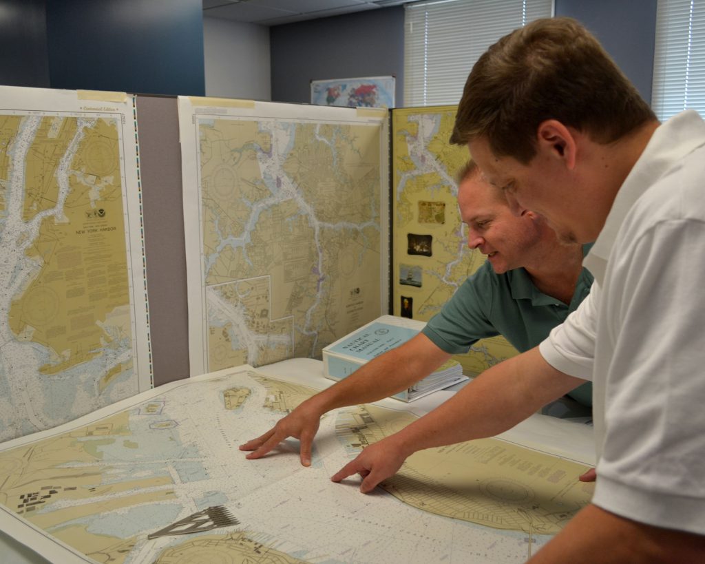
NOAA Paper Nautical Charts ›
Find out about NOAA's Paper Nautical Charts.
United States Coast Pilot® ›
Download free sailing directions or buy a paper copy from a NOAA certified publisher.
NOAA RNC® ›
Find out about NOAA’s raster navigational charts.
Full-size Nautical Charts ›
Find out about free full-size images of nautical charts.
Booklet Charts™ ›
Find out about free page-size images of NOAA nautical charts.
Historical Charts ›
Download free images of maps and charts dating back to 1807.
NOAA Custom Charts ›
Create and download charts based on your own scale, extent, and paper size settings.
ENC® Viewer ›
View a seamless display of all NOAA electronic navigational charts using ECDIS symbology.
RNC® Viewer ›
View a seamless display of all NOAA raster navigational charts using traditional paper chart symbology.
Nautical Chart Viewer ›
Go to the Dates of Latest Editions list to view individual raster charts
Find, view, and download any NOAA nautical chart product with the NOAA Chart Locator.
nowCOAST™ ›
Access real-time coastal observations, forecasts and warnings.
U.S. Chart No. 1 ›
Get the guide to the symbols, abbreviations and terms used on NOAA nautical charts and ENCs.
Chart Updates›
Find out what has changed on NOAA nautical charts and ENCs since the last new edition.

We are the nation’s nautical chart-maker. We are responsible for upgrading charts, surveying the seafloor, responding to maritime emergencies, and searching for underwater obstructions that pose a danger to navigation.

Home | About Us | IOCM | HSRP | Contact
![]()
![]()
![]()
![]()
![]()
Privacy Policy | Disclaimer | Information Quality | Freedom of Information Act | USA.gov | Ready.gov | EEO | Take our Survey
Website owned by: Office of Coast Survey
National Ocean Service | NOAA | Department of Commerce
Revised: 11/19/2020