Alaska Science Center
Maps
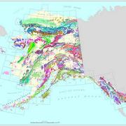
Geologic Map of Alaska
This is an interactive version of the Alaska geologic map database which allows a user to view and access many features of the database and map through a standard web browser. In other words, there is no need for or knowledge of specialized GIS software.
Alaska Mapping
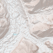
New US Topo maps for Alaska are being produced statewide, with digital 7.5 minute 1:25,000-scale maps providing a comprehensive update to the 15-minute 1:63,360-scale printed maps produced nearly fifty years ago. You can view a status map showing where the new maps are available, and link to a site to download the maps.
1964 Great Alaska Earthquake Photo Tour of Anchorage
On March 27, 1964 the largest recorded earthquake in U.S. history struck southcentral Alaska. Click on the photos or the numbers to take a tour.


