Tools are available to help you manage your climate-related risks and opportunities, and to help guide you in building resilience to extreme events. Browse the list below, or filter by topic and/or tool functionality in the boxes above. To expand your results, click the Clear Filters link.

Screen capture from the Guide
Screen capture from the ACIS Climate Maps tool
Circular diagram showing past and present environmental conditions in Interior Alaska. Source: Community Partnerships for Self-Reliance program
Screen capture from the Adaptation Tool Kit
Close up of cedar branches
Screen capture from the website
Screen capture from the AdaptMap tool
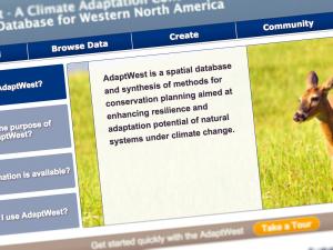
Screen capture from the AdaptWest website
Screen capture from the Advanced Hydrologic Prediction Service tool
Screen capture from the AgBiz Logic website
Screen capture from the ACPF Toolbox
Florida oranges
Screen capture from the AirNow website
screen grab from outlook
Screen capture from Alaska Climate and Weather Highlights
Screen capture from the Coastal Change Viewer
Screen capture from Alaska Coastal Profile Tool
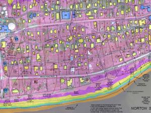
Example of an inundation map from the tool
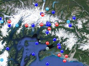
Glaciers, land, shoreline, and ocean in satellite view of Alaska
Screen capture from the AKOATS tool
Screen capture from Alaska Shoreline Change Tool
Tracy Arm, Southeast Alaska mainland, from the Alaska ShoreZone
Orange hawkweed
Screen capture from Alaskan Arctic National Parks Landscape Viewer
Screen capture from the Annual Greenhouse Gas Index tool
Screen capture from the database website
Screen capture from the Arctic Adaptation Exchange
Screenshot from Arctic ERMA
Screen capture from Arctic LCC Projections
Screen capture from the Arctic Risk Map
Screen capture from the ASR Recovery Initiation Index website
Screen capture from the Assessing Health Vulnerability to Climate Change Guide
Screen capture from the Atlas
Screen capture from Barrow Sea Ice Thickness and Sea Level Webcam and Radar
Screen capture from the Beach and Tidal Inlet Habitat Inventories

Pages