Written by: John H. Thompson
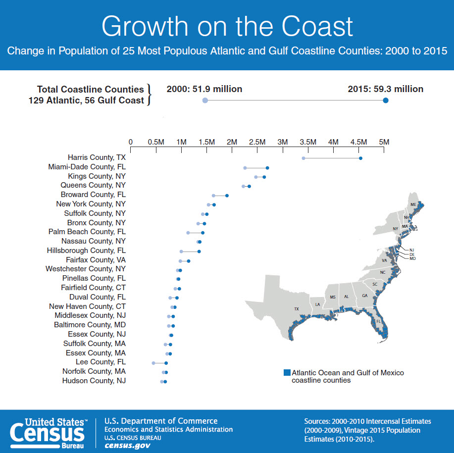
As millions of Americans prepare for Hurricane Matthew this week, the U.S. Census Bureau’s OnTheMap for Emergency Management tool provides federal, state and local emergency management officials access to statistics about communities in the storm’s path.
OnTheMap for Emergency Management is a web-based resource that provides a live view of selected emergencies and weather events in the U.S., 24 hours a day, 7 days a week. It automatically incorporates real-time updates from federal sources so you can view the potential effects of hurricanes (and other disasters) on America’s population and workforce. The Census Bureau and the National Oceanic and Atmospheric Administration have worked together to bring you this real-time data.
This tool uses rich, local socio-economic and demographic statistics from the American Community Survey and other Census Bureau data sources to give a detailed look at affected areas. It gives you information on the number of people potentially affected by a storm, as well as some of their characteristics down to the neighborhood level — for example, the percentage of residents age 65 or older, or local employment patterns. The Census Bureau provides vital economic and demographic data to federal and local emergency management agencies, which can use this information to better assess the impact hurricanes have on coastal populations. For example, following Super Storm Sandy, New Jersey officials used our data to estimate the volume of traffic in affected areas.
In addition, the Census Bureau will be providing even more data from the economic census, County Business Patterns, the American Community Survey, Survey of Business Owners and Nonemployer Statistics to supplement OnTheMap for Emergency Management. Check our Emergency Preparedness page for the most recent updates.
If you live in a hurricane-prone area, you can find safety and preparedness tips at <www.ready.gov/hurricanes>. You can also visit the National Hurricane Center for the latest forecasts on Hurricane Matthew and the National Weather Service for active weather alerts.


Sir,
This is a awesome tool. My job is to ensure we can still provide these products if we have to move to a Alternate work location. If each Associate Directorate would ensure that his staff develops Mission Essential Functions (MEFs) that supports the Census Bureaus overall MEFs we will have no problem continuing our service to our customers in the event a COOP is declared.