National Mine Map Repository (NMMR)
Looking for a map? Visit the National Mine Map Repository (NMMR) website to search the Mine Map Index System.
Established by the Federal Coal Mine Health and Safety Act of 1969, the National Mine Map Repository (NMMR) collects and maintains mine map information and images for the entire country, including data and maps of coal mines in the anthracite coal region of northeastern Pennsylvania. The oldest maps in the archive originate from the Appalachian Region. The oldest map we have right now is from 1792!
As an extension of the Office of Surface Mining Reclamation and Enforcement (OSMRE), NMMR acquires maps through public outreach directed at state and federal environmental agencies as well as mining companies, engineering and consulting firms, surveying companies, universities, and private citizens.
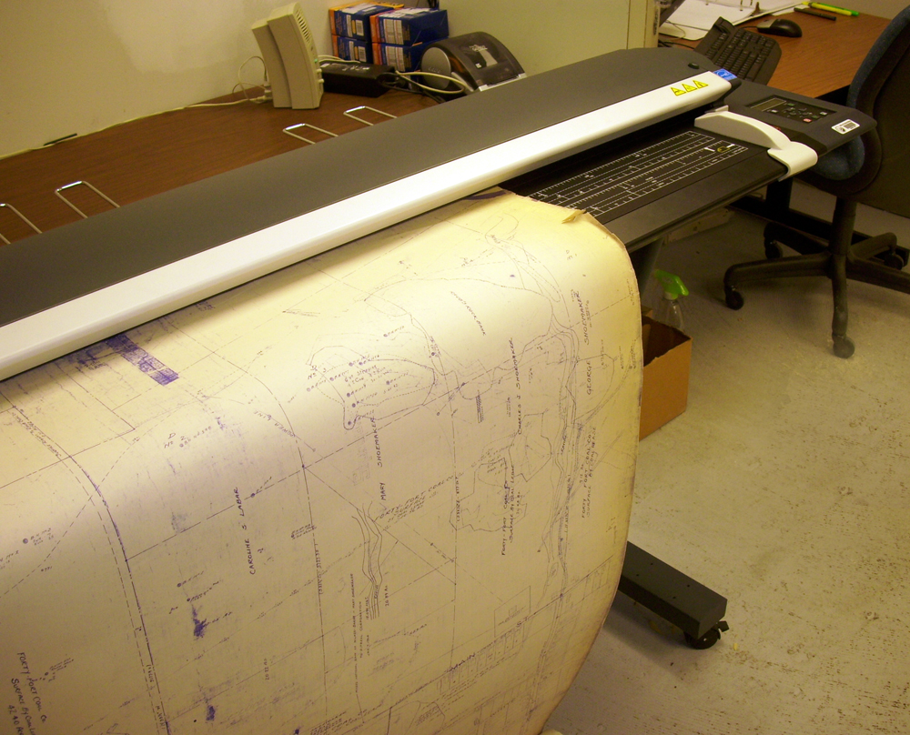
The NMMR provides services ranging from retrieving mine related data for economic analysis to determining the potential risk associated with underground mining. We are not permitted to assess. The data from the archives aids the public & private sectors to do such things, but we do not. We'll explain a map to novices (students, homeowners) including whether or not the area has been undermined. We determine which maps are suitable to be archived within the Repository - assessing the content & physical condition of the maps. We ascertain data from the map & enter it into a searchable database. We are currently moving towards an accessible, spatial database by digitizing & georeferencing the nearly quarter-million digital images in the archive. As of 2/25/14, about 13% of the archive has been georeferenced. Through analysis of mine maps and related information, the repository assists private and public sectors in industrial and commercial development, highway construction, and the preservation of public health, safety, and welfare. In addition, we collect, reproduce, and maintain a national inventory of mine maps and supporting documentation for private and public interests.
NMMR resides within the Pittsburgh suburb of Green Tree, Pennsylvania. Within this facility we store, both digitally and on microfilm (aperture cards), over 150,000 maps of closed and/or abandoned mines. The repository contains maps from the 1790s to the present day. It serves as a point of reference for mine maps and other information for both surface and underground mines throughout the United States. It also serves as a location to retrieve mine maps in an emergency.
Mine Map Index System
Looking for a map? Search the Mine Map Index System. Maintained by the National Mine Map Repository (NMMR), the index system allows visitors to search the database listing of mine maps available from NMMR.


