 |
*** If you are having trouble viewing this page please click here
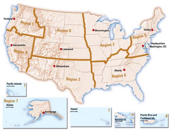
USFWS GIS Steering Committee MembersIf you are interested in the U.S. Fish and Wildlife Service's activities using GIS technology or spatial data, please contact the appropriate member of the Service's GIS Steering Committee. Click on the State or Region on the map below for the USFWS Regional GIS contact. Click here for National Programs or Groups.
Pacific Region (1) - Southwest Region (2) -
Midwest Region (3) |