Oklahoma Lightning Mapping Array Data
Access the data directory (password required, see below for instructions for acquiring a password)
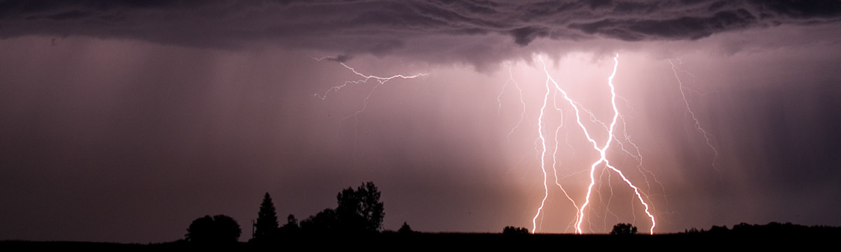
The National Severe Storms Laboratory and the University of Oklahoma jointly operate the Oklahoma Lightning Mapping Array (OKLMA) to map the time and location of lightning channel segments within clouds. To do this, the system, owned by the University of Oklahoma, measures the time at which a signal radiated by a lightning channel in a VHF band (the former television channel 3 band) arrives at each station in the OKLMA network. The times are transmitted to a central station, which computes the time, latitude, longitude, and height of the segment that radiated the signal. Since 2003, there have been 10-11 stations in central Oklahoma. In April 2012, seven additional stations were added in southwest Oklahoma.
Data are collected continuously, with some interruptions due to maintenance or to failures in either communications or station electronics. Errors in the computed locations increase with range. Although three dimensional locations are computed for all VHF sources, errors in height grow faster with increasing range than do errors in latitude and longitude, so the computed height becomes unusable for most applications at longer ranges from the array.
The maps at right show the nominal regions of coverage for three-dimensional mapping (the purple shaded region) and for two-dimensional mapping (gold shading) with the original stations and with the new stations added. Directly over a cluster of stations, expected location errors are roughly 50 m. At the outer range of coverage, expected range errors are roughly 2 km. Note that the system identifies signals received at different stations from a given VHF source by using a statistical technique which allows a small percentage of mapped locations to be erroneous. Erroneous points can usually be readily identified by being distant from clusters of points, but the statistical nature means one should be cautious about using any one point.
OKLMA data are the property of the University of Oklahoma, which allows the National Severe Storms Laboratory also to use them for its projects. Available resources are insufficient to insure 24-7 operation of the OKLMA year round, but this is consistent with the intended application exclusively for scientific research. The lack of lightning at a specific time and location cannot be certified on the basis of these data.
Access Instructions
The University of Oklahoma reserves the right to restrict access to these data, so access is password protected. However, applications for atmospheric science projects are encouraged. If you have a science project needing these data, please contact Bill Beasley (whb@ou.edu) or Don MacGorman (don.macgorman@noaa.gov) to request the password, and include the time and location of the data you need and a brief description of your project. If you have been given a password, you may proceed to the data directory; you will be directed to enter your user name (email address) and the password to access the directory.