
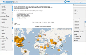
MapSearch
|
Biomass Data
These datasets represent the biomass resources available in the United States by county. The estimates are based on county-level statistics and/or point-source data gathered from the U.S. Department of Agriculture (USDA), USDA Forest Service, EPA and other organizations, which are further processed using relevant assumptions and conversions.
Geographic Coordinate System Name: WGS 1984
| Coverage | File Size | Last Updated | Metadata |
|---|---|---|---|
| Biomethane | (Zip 72.2 MB) | 10/30/2014 | Biomethane.xml |
| Solid Biomass | (Zip 69.5 MB) | 10/30/2014 | Solid Biomass.xml |
Note - These datasets are designed to be used in GIS software applications.
For more information on biomass resources, access the BioEnergy Science and Technology site.
For additional biomass resource data, access Renewable Resource Data Center (RReDC) and the Biomass Resource Data.
If you have difficulty accessing this data because of a disability, please contact the Geospatial Data Science Team.
