The Wallowa-Whitman National Forest, 2.3 million acres of varied landscape, extends from the Blue Mountains and rugged Wallowa Mountains down to the spectacular canyon country of the Snake River on the Idaho border.
The forest ranges in elevation from 875 feet in the Hells Canyon National Recreation Area to 9,845 feet in the Eagle Cap Wilderness Area.
We manage the forest as sustainable ecosystems providing clean water, wildlife habitat and valuable forest products. This setting offers a variety of year-round recreation opportunities.
The East Face Analysis Area is a multi-agency collaborative restoration project designed to restore and maintain resilient landscapes, create fire adapted communities and respond to wildfire. Learn more about this exciting project by clicking the link!
Click the link to view this video on hiking safely with goats, which provides guidance and educational value for people recreating in areas where they are likely to have interactions with mountain goats.
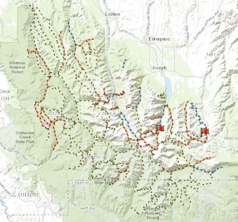
Interested in learning about Forest campsites, trails and wilderness areas? Find out more here!