Welcome to Malheur National Forest
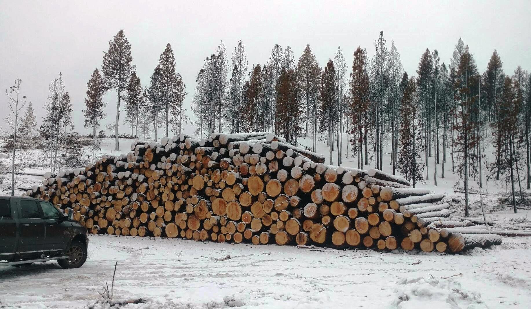
The 1.7 million acre Malheur National Forest is located in the Blue Mountains of Eastern Oregon. The diverse and beautiful scenery of the forest includes high desert grasslands, sage and juniper, pine, fir and other tree species, and the hidden gems of alpine lakes and meadows. Elevations vary from about 4000 feet (1200 meters) to the 9038 foot (2754 meters) top of Strawberry Mountain. The Strawberry Mountain Range extends east to west through the center of the forest.
The Malheur National Forest is a place of remote and rugged beauty. With 2 designated wilderness areas; 1 national scenic area; 1 designated state bikeway; multiple scenic byways; thousands of miles of forest roads; and hundreds of peaks, streams, and alpine lakes - the Malheur National Forest has a spectacular adventure waiting for everyone.
Keep in mind the Malheur National Forest is exceptionally remote. Come prepared and self-sufficient. Route finding is necessary when exploring much of the forest, including many designated trails. Wildfires are common throughout late summer and early fall, so please, check with Forest staff for updates and restrictions.
Start planning for your next adventure:
 
The 2015-2020 Strategic Plan is now available. A plan that embodies our commitment to SUSTAIN our nation’s forests and grasslands, DELIVER benefits to the public, APPLY knowledge globally, and EXCEL as a high-performing agency. These are the principles by which we will act and operate as we continue to guide this organization for today’s and future generations.
Every Kid In a Park

Learn more about the Every Kid in a Park Program. Stop by a US Forest Service or National Park Service office near you to get your fourth grader a FREE National Park Lands Pass.
Wildland Fire
Effective as of Tuesday, October 4, 2016, the entire Malheur National Forest is Level 1 of Industrial Fire Precaution Level (IFPL).
Seasonal Restrictions of Public Use Restrictions (PURs) will also remain in effect forest-wide.
With this, campfires are allowed across the forest. Please be firewise and make sure your camp fires are extinguished and “dead out” before leaving the area. Firewood cutting is allowed all day with a valid personal use firewood, followed by a 1-hour fire watch.
|