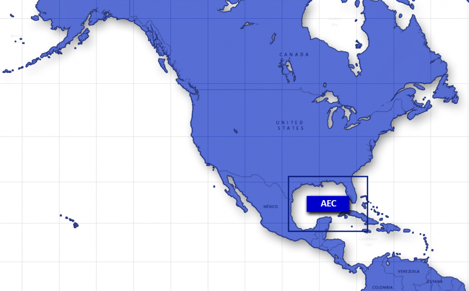
Naval Research Laboratory Gulf of Mexico Adaptive Ecosystem Climatology (AEC)

The Naval Research Laboratory Adaptive Ecosystem Climatology (AEC) combines an ocean model with Earth observations to provide a synoptic view of the typical (climatic) state of the ocean for every day of the year. The current version of AEC (beta4) is a research-quality product constructed for the Gulf of Mexico. The AEC comprises two sets of climatological mean fields: one derived from a coupled biophysical model simulation and one derived from satellite observations. The model-based daily climatology is derived from a 33-year simulation (1980–2012) of a 4-km resolution, coupled biophysical ocean model that uses the Navy Coastal Ocean Model (NCOM) hydrodynamics and the Carbon Silicate Nitrogen Ecosystem (COSINE) marine biochemistry. The model assimilates altimetry data and satellite sea surface temperature from the Advanced Very High Resolution Radiometer (AVHRR). It is forced by boundary conditions prescribed by the 1/8° Global NCOM, and by atmospheric fluxes prescribed by NASA’s Modern Era Retrospective-Analysis for Research and Applications (MERRA). The satellite daily climatology provides chlorophyll concentration and sea surface temperature derived from the Moderate Resolution Imaging Spectroradiometer (MODIS) level-1 data processed at 1-km resolution and spanning the period 2003–2013. Each calendar day in the climatology represents a 5-day rolling average centered on that day, with data from all 11 years included. Thus, the value at each pixel is an average of up to 55 individual data values.
AEC beta4 netCDF files contain (Model): sea surface elevation, ocean temperature, salinity, eastward and northward currents, along with phytoplankton, diatoms, micro-zooplankton, and meso-zooplankton distributions at standard depths through the water column; (Satellite): sea surface temperature and sea surface chlorophyll.
| Product | Grid/Scale | POR | Model Cycle | Output Time Step | Access |
|---|---|---|---|---|---|
| Model-based climatology | 1/25° | 1 year climatology | 1 day | 1 day | TDS agg, TDS files, ERDDAP 2D, ERDDAP 3D |
| Satellite-based climatology | 1/100° | 1 year climatology | 1 day | 1 day | TDS agg, TDS files, ERDDAP |


