


 The development of the Southern Plains Drought Early Warning System was initiated in 2011 when a drought of strong intensity and vast geographical extent unfolded in the southern tier of the U.S. As the drought intensified, it became apparent that there was a need to improve the communication of drought information to decision makers to help them anticipate and manage the impacts of drought. While the recent drought has abated in the majority of the Southern Plains region, there are areas that are still significantly impacted by drought.
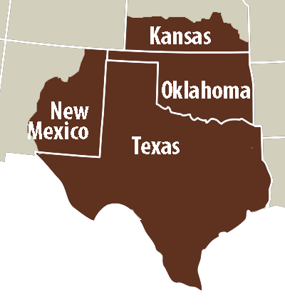
The Southern Plains DEWS is a collaborative federal, state, and local interagency effort to improve early warning capacity and resilience to drought in Texas, Oklahoma and New Mexico.
Activities
- Southern Plains DEWS Strategic Plan - Available in 2016, providing a framework of priority actions for the DEWS over the next two years.
- Texas and Oklahoma Climate Extremes Workshop - Challenges, successes, lessons and climate resource needs experienced during the recent drought and flood events. Emphasis was on opportunities for future interagency collaboration.
- San Antonio Multi-Hazard Tournament – A multi-hazard tournament was held in Floresville, TX in Sept 2015. Stakeholder teams were presented with flood and drought scenarios and then charged with developing a set of adaptation strategies to address each hazard.
- Oklahoma Water Supply and Reliability Challenge, Sept 2014 – A stakeholder engagement exercise to inform stakeholders on drought and receive input on new adaptive management strategies.
- Texas Drought Forum in Wichita Falls, June 2014 - The event drew 172 registered participants and involved Texas state and local governments, National Weather Service and local citizens.
- New Mexico Drought Outlook and Management Considerations for Rangeland Livestock Production Workshop, May 2013 - Over 150 rangeland managers and agency representatives participated.
- Southern Plains Drought Outlook and Assessment Forum, March 2013
- West Texas Drought Outlook and Assessment Forum, Nov 2012
- Southern Plains Drought Assessment & Outlook Forum, April 2012
- Southern Plains Drought Assessment & Outlook Forum, Nov 2011