Mission Overview

The Geostationary Operational Environmental Satellite-R Series (GOES-R) is the next generation of geostationary weather satellites. There are four satellites in the series: GOES-R, GOES-S, GOES-T and GOES-U. The GOES-R Series Program is a collaborative development and acquisition effort between the National Oceanic and Atmospheric Administration (NOAA) and the National Aeronautics and Space Administration (NASA) to develop, launch and operate the satellites.
The GOES-R series satellites will provide continuous imagery and atmospheric measurements of Earth’s Western Hemisphere, total lightning data, and space weather monitoring to provide critical atmospheric, hydrologic, oceanic, climatic, solar and space data.
GOES-R series satellites will provide images of weather pattern and severe storms as frequently as every 30 seconds, which will contribute to more accurate and reliable weather forecasts and severe weather outlooks. GOES-R’s environmental data products will support short-term weather forecasts and severe storm watches and warnings, maritime forecasts, seasonal predictions, drought outlooks and space weather predictions. GOES-R products will improve hurricane tracking and intensity forecasts, increase thunderstorm and tornado warning lead time, improve aviation flight route planning, provide data for long-term climate variability studies, improve solar flare warnings for communications and navigation disruptions and enhance space weather monitoring.
The GOES-R Series Program is managed by NOAA with an integrated NOAA-NASA program office organization, staffed with personnel from NOAA and NASA, and supported by industry contractors. The program is co-located at NASA’s Goddard Space Flight Center.
The GOES-R Program Office is composed of two integrated NOAA-NASA project offices: the Flight Project and the Ground Segment Project. The Flight Project oversees the development of the space segment of the mission, which consists of the spacecraft, the instruments, launch vehicle, and the auxiliary communication payloads. The Ground Segment Project oversees the facilities, antenna sites, and the software and hardware for satellite command and control, processes data, and creates and distributes end user products.
The GOES-R series will maintain the two-satellite system implemented by the current GOES satellites. However, the locations of the operational GOES-R series satellites will be 75⁰ W and 137⁰ W. The latter is a shift from current GOES at 135⁰ W in order to eliminate conflicts with other satellite systems. The GOES-R series operational lifetime extends through December 2036. For a history of GOES satellites, click here.
GOES-R INSTRUMENT SUITES
Click the instrument name to go to the instrument page, expand the image using the magnifying glass or click the image to load a higher resolution image in an new window.
Advanced Baseline Imager
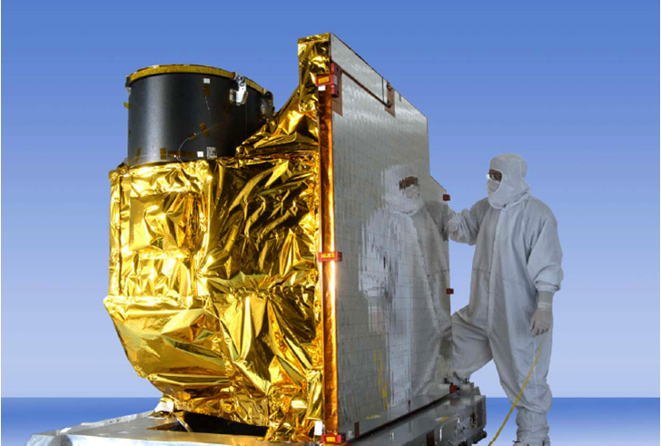
The Advanced Baseline Imager is the primary instrument on GOES-R for imaging Earth’s weather, oceans and environment. ABI will view the Earth with 16 different spectral bands (compared to five on current GOES), including two visible channels, four near-infrared channels, and ten infrared channels.
Extreme Ultraviolet X-Ray Irradiance Sensor
The Extreme Ultraviolet and X-ray Irradiance Sensors on the GOES-R series satellites are critical to understanding and monitoring solar irradiance in the upper atmosphere, that is, the power and effect of the sun’s electromagnetic radiation per unit of area.
Geostationary Lightning Mapper
The Geostationary Lightning Mapper is a single-channel, near-infrared optical transient detector that can detect the momentary changes in an optical scene, indicating the presence of lightning. GLM will measure total lightning (in-cloud, cloud-to-cloud and cloud-to-ground) activity continuously over the Americas and adjacent ocean regions with near-uniform spatial resolution of approximately 10 km.
Magnetometer
The GOES-R Magnetometer will provide measurements of the space environment magnetic field that controls charged particle dynamics in the outer region of the magnetosphere. These particles can be dangerous to spacecraft and human spaceflight.
Space Environmental In-Situ Suite
The Space Environment In-Situ Suite is comprised of four sensors that will monitor proton, electron, and heavy ion fluxes in the magnetosphere. The information provided by SEISS is critical for assessing the electrostatic discharge (ESD) risk and radiation hazard to astronauts and satellites.
Solar Ultraviolet Imager
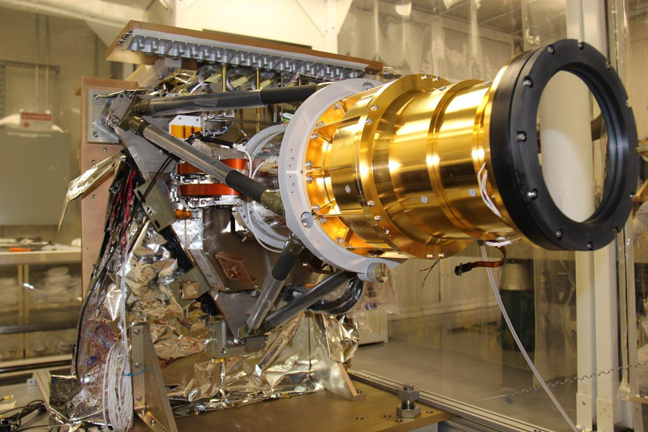
The Solar Ultraviolet Imager is a telescope that monitors the sun in the extreme ultraviolet wavelength range. By observing the sun, SUVI will be able to compile full disk solar images around the clock. It replaces the current GOES Solar X-ray Imager (SXI) instrument and represents a change in both spectral coverage and spatial resolution over SXI.


