Current time (in UTC/GMT/Zulu):
JavaScript Must Be Enabled.

An Enhanced Risk of Severe Thunderstorms is Forecast Today and/or Tonight
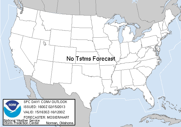
Severe storms are expected to develop by this evening and spread across the lower Mississippi Valley tonight through Saturday morning, with a couple of tornadoes, large hail, and damaging winds all possible. Strong thunderstorms with at least some severe-weather potential are also possible near the southern California coast this afternoon.
 For additional details, see the latest Day 1 Convective Outlook.
For additional details, see the latest Day 1 Convective Outlook.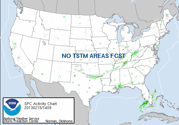
|
All Products
Watches
MDs
Outlooks
Fire
|
|
|
||||||||||||
|
|
|
||||||||||||
|
Latest SPC Publications
|
Latest SPC Case Archive
|
|||||||||||||


|
|
NOAA /
National Weather Service National Centers for Environmental Prediction Storm Prediction Center 120 David L. Boren Blvd. Norman, OK 73072 U.S.A. spc.feedback@noaa.gov Page last modified: January 21 2017 00:28 UTC |
Disclaimer Information Quality Help Glossary |
Privacy Policy Freedom of Information Act (FOIA) About Us Career Opportunities |