

 |
CURRENT TIME
(based on your computer's time): |
|||
Meteosat - Imagery - 6 Hours 00Z, 06Z, 12Z and 18Z Imagery available about 40 minutes later. |
||||
Polar DMSP/AMSU Imagery Every 3 hours Imagery available about 45 minutes later. |
| Meteosat Imagery | ||||
| Single Image | Image Loops (Toggle Lat/Lon) | |||
| With Lat/Lon | Without Lat/Lon | Java | Flash | HTML5 |
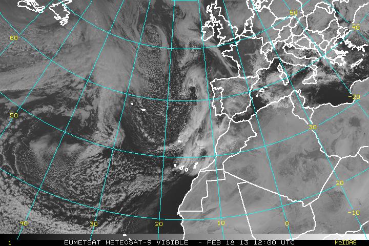
| Visible | Visible | Visible | Visible | Visible |
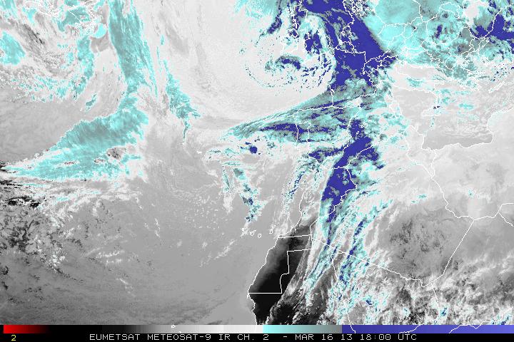
| Shortwave (IR2) | Shortwave (IR2) | Shortwave (IR2) | Shortwave (IR2) | Shortwave (IR2) |
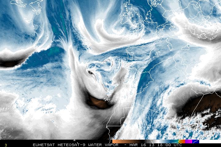
| Water Vapor (IR3) | Water Vapor (IR3) | Water Vapor (IR3) | Water Vapor (IR3) | Water Vapor (IR3) |
| Infrared Channel 4 Enhancements | ||||
| None | None | None | None | None |
| AVN | AVN | AVN | AVN | AVN |
| Dvorak | Dvorak | Dvorak | Dvorak | Dvorak |
| JSL | JSL | JSL | JSL | JSL |
| RGB | RGB | RGB | RGB | RGB |
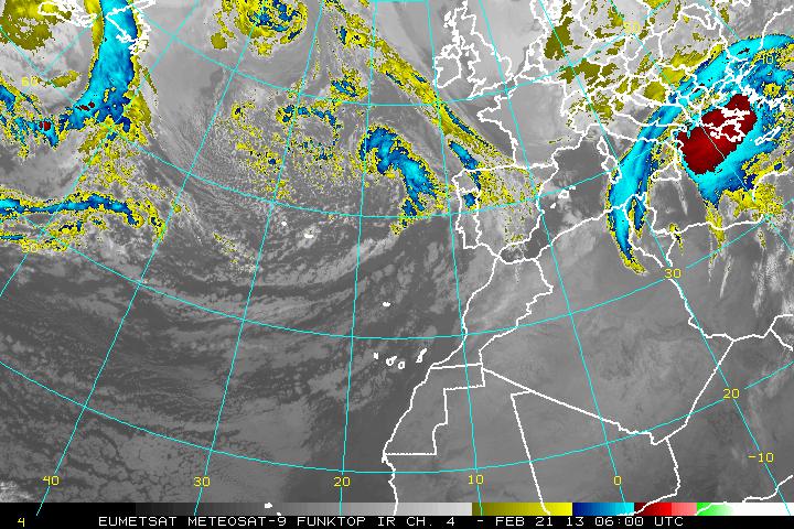
| Funktop | Funktop | Funktop | Funktop | Funktop |
| Rainbow | Rainbow | Rainbow | Rainbow | Rainbow |
| Polar Imagery | |||
| Single Image | Image Loops (Toggle Lat/Lon) | ||
| With Lat/Lon | Without Lat/Lon | Flash | HTML5 |
| DMSP SSM/IS Imagery | |||
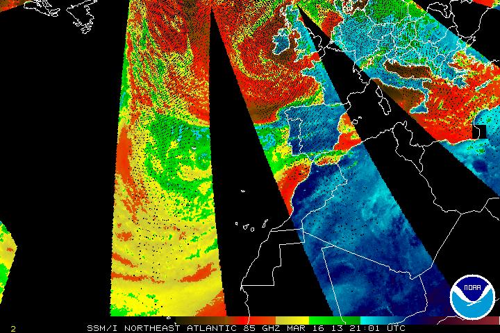
| 85 GHz Radiance | 85 GHz Radiance | 85 GHz Radiance | 85 GHz Radiance |
| Precipitable Water | Precipitable Water | Precipitable Water | Precipitable Water |
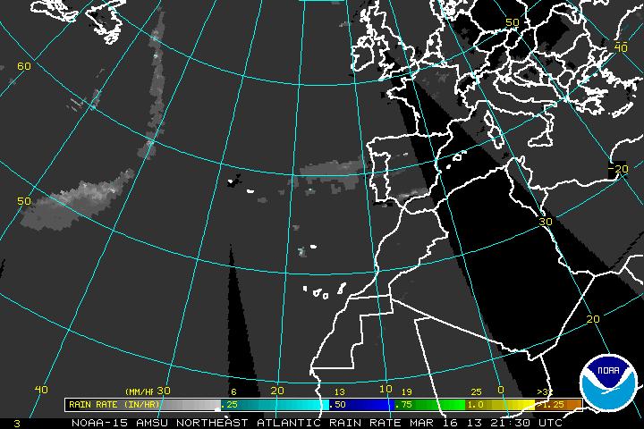
| Rain Rate | Rain Rate | Rain Rate | Rain Rate |
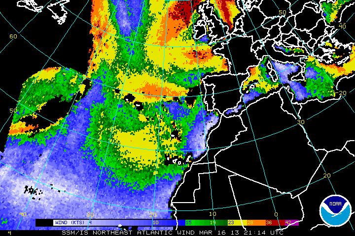
| Surface Winds | Surface Winds | Surface Winds | Surface Winds |
| AMSU Microwave Imagery | |||
| 89 GHz Radiance | 89 GHz Radiance | 89 GHz Radiance | 89 GHz Radiance |
| Precipitable Water | Precipitable Water | Precipitable Water | Precipitable Water |
| Rain Rate | Rain Rate | Rain Rate | Rain Rate |
Java/Flash Loop Notes:
GOES - usually 12-15 images with static overlays
POES - usually 15 images limited static overlays
All Loops have a Latitude/Longitude Overlay
Image Enhancement Information