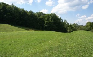
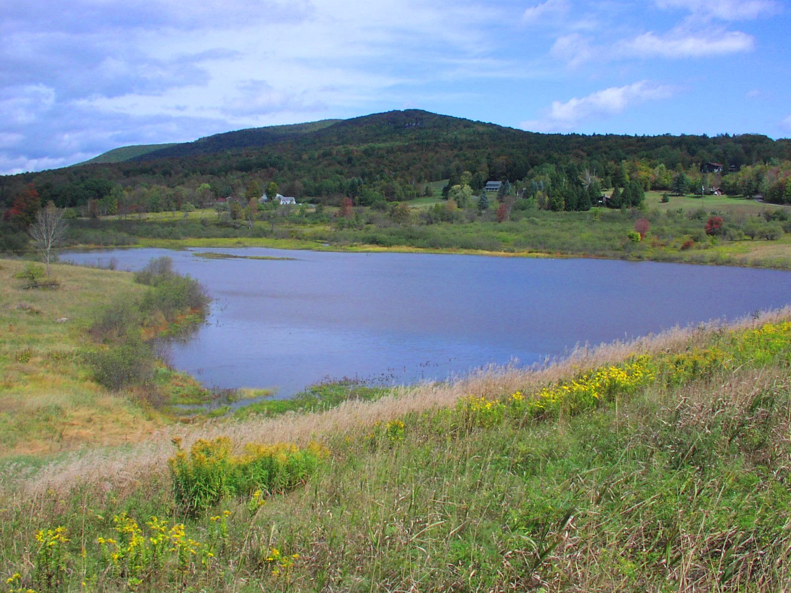
A watershed, also referred to as a drainage basin, is the land area drained by a system of streams flowing downhill to a major river, lake, or estuary. Watersheds can be small, draining only a few acres, or very large, crossing State boundaries and encompassing thousands of square miles. Unique features of watersheds include their topography, soils, vegetation, land use and hydrology which directly effect runoff quantity and quality. A good example of a large watershed is the Chesapeake Bay Watershed. It covers parts of New York, Pennsylvania, Maryland, Delaware, Virginia, West Virginia and the District of Columbia.
USDA-NRCS Watershed Rehabilitation Program in New York State
Local communities in New York State, with NRCS assistance, have constructed 59 flood control dams since 1955. A few of these dams are nearing the end of their 50-year design life. Other dams are now considered high hazard 1 due to the development that has occurred downstream although they were built to only significant hazard criteria originally. Learn more...
DamWatch
New Dam Monitoring Tool Will Soon Be Available to Watershed Project Sponsors
DamWatch® is a new dam monitoring tool that will soon be available for watershed project sponsors and the Natural Resources Conservation Service (NRCS) to monitor flood control dams.
Local watershed project sponsors have constructed 11,800 flood control dams across the Nation with NRCS assistance.
As these dams age and homes, businesses, and highways are constructed downstream, it becomes increasingly important to use all possible means to monitor and manage the dams to ensure they function as they were designed and that they remain safe. Learn more....
Links
Emergency Watershed Protection Program – Floodplain Easements
Rapid Watershed Assessments
Rapid watershed assessments provide initial estimates of where conservation investments would best address the concerns of landowners, conservation districts, and other community organizations and stakeholders. These assessments help land-owners and local leaders set priorities and determine the best actions to achieve their goals. Each assessment provides a description of the sub basin’s natural resources, resource concerns, and conservation needs. Rapid Watershed Assessments typically contain the following information:
- Physical Resources
- Land Use and Land Cover
- Water Quality Conditions Report
- Soil, Stream, Precipitation Data
- Resource Concerns
- Census and Social Data
Benefits of Rapid Watershed Assessments
- Quick and inexpensive plans for setting priorities and taking action
- Providing a level of detail that is sufficient for identifying actions that can be taken with no further watershed-level studies or analysis
- Actions to be taken may require further Federal or State permits, Endangered Species Act (ESA) or National Environmental Policy Act (NEPA) analysis but these activities are part of standard requirements for use of best management practices (BMPs) and conservation systems
- Identifying where further detailed analysis or watershed studies are needed
- Plans address multiple objectives and concerns of landowners and communities Plans are based on established partnerships at the local and state levels
- Plans enable landowners and communities to decide on the best mix of NRCS programs that will meet their goals
- Plans include the full array of conservation program tools (i.e. cost-share practices, easements, technical assistance)
Rapid Watershed Assessments Online
NRCS New York has completed 53 Rapid Watershed Assessments and has made them available online.
Watershed Boundary Dataset (WBD) - USDA NRCS National Cartography and Geospatial Center