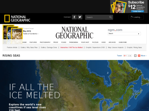
If All the Ice Melted
This visualization is a collection of maps, by continent, that project the impact on coastlines of a 216-foot rise in sea level, which is assumed to be the result of melting all the land ice on Earth.
Go To:
National Geographic staff
National Geographic
Notes From Our Reviewers
The CLEAN collection is hand-picked and rigorously reviewed for scientific accuracy and classroom effectiveness. Read what our review team had to say about this resource below or learn more about how CLEAN reviews teaching materials
Teaching Tips
Literacy and Resources
Relation Link:
![]()