Be a Part of the Solution to Urban Waters Pollution. This widget provides various water pollution prevention tips.
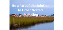
Be a Part of the Solution to Urban Waters Pollution. This widget provides various water pollution prevention tips.

Bring a splash of water savings know-how to your Web site with the WaterSense widget! The WaterSense widget is an epa.gov application that displays water efficiency content directly on your Web page and provides a link to the WaterSense Web site. Once you have added the WaterSense widget to your Web page, there is no […]
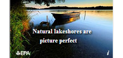
This widget, launched during Lakes Appreciation Month (July), provides a series of ten tips for improved lakeshore stewardship, focusing on natural lakeshores – lakeshores with plenty of native trees, shrubs, and overhanging vegetation. Native vegetation along lakeshores provides food, shelter, habitat and shade for fish and protects the lake from the damaging effects of erosion […]
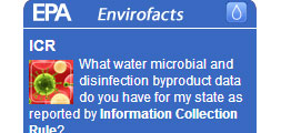
What water microbial and disinfection byproduct data do you have for my state as reported by Information Collection Rule?

What public water systems for my county have violations reported in Envirofacts as reported by Safe Drinking Water Information System?
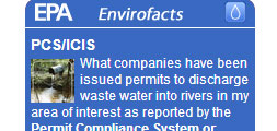
What companies have been issued permits to discharge waste water into rivers in my area of interest as reported by the Permit Compliance System or Integrated Compliance Information System?
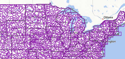
This data access tool and data layers represent the best information currently available, and by making these data layers viewable and downloadable through this data access tool.

Forecast Now uses any user-entered town and state to provide you with the latest detailed local forecast, hazardous weather conditions, air quality index, radar images and satellite photo, direct from the US National Weather Service and the EPA.

A public website that promotes improved accountability, fosters coordination, and promotes transparency by sharing performance information on goals, indicators, strategies, and funding.

How’s My Waterway is a mobile-friendly website that helps people quickly find information, in plain-English, about the condition of their local waters on their smart phone, tablet, or desktop computer. Screen shots: Previous Slide Next slide Search using your location or by zipcode or address. Discover waterbodies in your area using the map view or […]