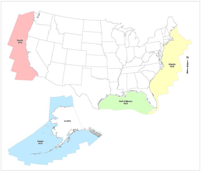
Interactive Maps (2012-2017)
BOEM has created regionally tailored maps which are being made available through ArcGIS.com, a free GIS viewer website. These maps are currently linked from the Maps page of the BOEM/NOAA collaborative project known as the MarineCadastre.gov. These maps made available on ArcGIS.com provide integrated marine spatial information that provides a more comprehensive look at the geospatial data and ongoing activities and studies occurring in the areas being considered. Suggestions for consideration of additional data layers to be considered or deferral areas that should be added to the tracking table can be sent to BOEM during the multiple comment periods in the Pre-Lease Sale Process leading up to individual lease sales. If you have any questions, or would like to provide BOEM additional data layers, please email: OCS_Oil_and_Gas_Interactive_Maps@boem.gov. Users can view the interactive maps at:
