Indoor airPLUS Builder
air_plus

Home builders and verifier partners in the field at new home construction sites have easy access to the tools and resources of EPA’s Indoor airPLUS program. Builders and Raters can use the app to review the Indoor airPLUS Construction Specifications and complete and email the Verification Checklist from the field. Homeowners can use the app […]

Read more
Mobile Access to Pesticides and Labels (MAPL)
npic-mapl-app

Designed for the general public and applicators who need to access pesticide labels on mobile devices, this app complements EPA’s computer-based Pesticide Product Label System. Users can search for pesticide products by name, use site, type of pest, EPA Registration Number, registrant, or by using a combination of these search terms.

Read more
Pesticide Education & Search Tool (PEST)
npic-pest-app

Designed for the general public as they search for pest control solutions, this app brings together product search functions and new pest control information in an easy-to-understand format. Users can find ways to control pests without pesticides using a strategy called integrated pest management (IPM). They can also view product formulations, ingredients, signal words, and […]

Read more
How’s My Waterway?
hows_my_waterway

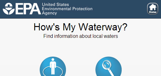
How’s My Waterway is a mobile-friendly website that helps people quickly find information, in plain-English, about the condition of their local waters on their smart phone, tablet, or desktop computer. Screen shots: Previous Slide Next slide Search using your location or by zipcode or address. Discover waterbodies in your area using the map view or […]

Read more
OzoneMap
ozonemap

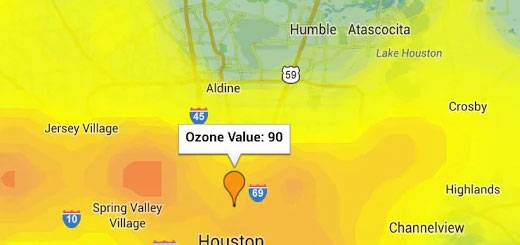
OzoneMap provides a real-time ozone map that allows residents of the Houston, Texas region to make informed decisions about protecting their health by limiting personal exposure to unhealthy levels of ground level ozone.

Read more
Forecast Now
forcast_now

Forecast Now uses any user-entered town and state to provide you with the latest detailed local forecast, hazardous weather conditions, air quality index, radar images and satellite photo, direct from the US National Weather Service and the EPA.

Read more
ChesapeakeStat
ChesapeakeStat

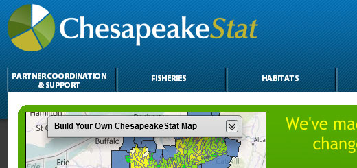
A public website that promotes improved accountability, fosters coordination, and promotes transparency by sharing performance information on goals, indicators, strategies, and funding.

Read more
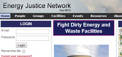
Energy Justice Communities Map
energy_justice_communities_map

The Energy Justice Network is mapping all of the existing, proposed, closed and defeated dirty energy and waste facilities in the United States. Our information includes coal, biomass, nuclear, oil, gas, renewables, trash incinerators, and other facilities.

Read more