For some community officials, living with levees is a fact of life. This page provides information on levee analysis, mapping requirements, and risk communication while clarifying the roles of the Federal agencies involved in levee identification, analysis, restoration, and mapping. Guidance is provided on how to properly identify and communicate risk within your community, how levees are categorized or accredited, and requirements for mapping levee restoration or construction projects.
Know Your Risk, Know Your Role, Take Action Today!


Communicating the Flood Risk
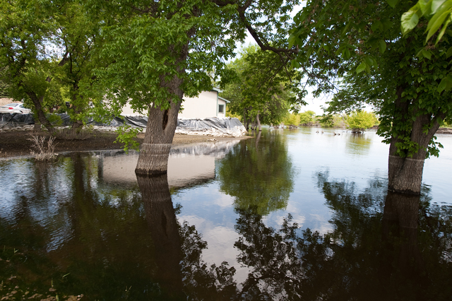
Levees reduce the risk of flooding. They do not eliminate it. For example, if a flood larger than the designed level of risk reduction occurs, there will likely be widespread flooding. Over time if levees are not maintained properly, their ability to reduce risk decreases due to deterioration. Improper drainage, erosion, seepage, subsidence, and even earthquakes can cause levees to fail and result in catastrophic flooding. In fact, the flood damage can be greater than if the levee had not been built.
Levees can be found in nearly one-quarter of the Nation’s counties, and 43 percent of the U.S. population lives in counties with levees. It is important that community officials in these communities with levees continually communicate the risk associated with levees. Along with identifying and communicating the risk, they need to identify the steps needed to protect families, businesses, and the community from the threat of flooding due to levee overtopping, breaching or seepage. Living with levees is a shared responsibility.
Engaging the Public and Other Stakeholders
When levee designations change, effective communication is crucial for addressing questions and concerns about changes in risk. FEMA has created a Levee Outreach Toolkit to assist community officials in reaching out to residents, business owners, and key industry stakeholders, in addition to other community officials or agencies. The toolkit includes templates, flexible materials which local government officials and agencies can adapt and use to effectively communicate about levee risk. Visit the Community Officials: Levee Outreach Toolkit to download these materials and to get tips on effective outreach approaches. Additional levee outreach materials that can be used by Real Estate, Lending and Insurance Professionals are available through the Real Estate, Lending and Insurance Professionals: Levee Mapping Status page.
Identifying the Flood Risk
As the Federal agency that is responsible for administering the National Flood Insurance Program (NFIP), FEMA identifies risk levels through flood analyses and mapping projects and also establishes criteria for levee accreditation. The information developed through these flood analyses and projects is provided to communities in the form of maps, called Flood Insurance Rate Maps (FIRMs). FEMA does not build, own or certify levees. The U.S. Army Corps of Engineers (USACE) is responsible for building and maintaining USACE-owned levees and for inspecting those structures to determine their level of maintenance. States, communities, and private levee owners are responsible for maintaining and operating the levees they own according to specific design criteria.
When a community with a levee goes through a remapping, some levees may no longer be able to be certified as meeting the minimum Federal requirements for reducing flood risk. Consequently, when the community’s new FIRM becomes effective, the levees will be shown as de-accredited on the FIRM and the area around the levees as high-risk flood zones. Levees that have been constructed or improved to a higher standard will be shown on the flood maps as accredited levees and mapped as a moderate-risk zone. Other levees, which had been previously shown as accredited, and require additional documentation to be certified are shown as Provisionally Accredited Levees (PALs). Additional information on FEMA’s levee assessment requirements, including PALs is provided in the sections below.
Levee Assessment Requirements
Levees that are designed to provide protection from at least the 1%-annual-chance flood may be accredited by FEMA, and areas immediately behind them mapped as a moderate-risk zone on the FIRM. In order for a levee to be accredited by FEMA and shown on a FIRM as providing protection from the 1%-annual-chance flood, the levee must first be certified by a Professional Engineer or a Federal Agency that designs levees that it is in compliance with the requirements outlined in Section 65.10 of the NFIP regulations and the appropriate documentation included.
If FEMA does not receive the data and documentation required to show compliance with Section 65.10 of the NFIP regulations, FEMA will de-accredit the levee – that is, FEMA will not map the levee on the affected FIRM panel(s) as providing protection from the 1%-annual-chance flood.
Levee Analysis & Mapping Approach Released
The Federal Emergency Management Agency (FEMA) released its Analysis and Mapping Procedures for Non-Accredited Levees on July 12, 2013. Review additional information available on the Approach Release webpage.
Provisionally Accredited Levees
When a community with an existing accredited levee is being remapped, the levee owner must provide the proper documentation to certify that it still meets at least the minimum Federal requirements. To assist owners who cannot provide FEMA with the required professional engineer-certified data and/or documentation to show the levee continues to provide protection from at least the 1%-annual-chance flood, FEMA established the Provisionally Accredited Levee (PAL) designation to facilitate the levee accreditation process. Before FEMA will apply the PAL designation to a levee system, the community or levee owner must sign and submit an agreement indicating the data and documentation required for compliance with Section 65.10 will be provided within a specified time frame not to exceed 24 months. Additional information on PALs can be found in the Provisionally Accredited Levees Brochure.
Finding More Information on Levee Accreditation and FEMA Guidance on Levees
FEMA’s guidance and standards related to levees and the accreditation process is available through the Guidelines and Standards for Flood Risk Analysis and Mapping page.
To assist community officials and levee owners, FEMA has also developed a “how-to” checklist for floodplain managers and engineers: Meeting the Criteria for Accrediting Levees on NFIP Flood Maps: How-To Guide for Floodplain Managers and Engineers.
A comprehensive catalog of levee-related publications and resources related to accreditation and other levee topics is available at the FEMA Levee Resources Library.
U.S. Army Corps of Engineers: Participation in Levee System Assessment
FEMA and USACE management and staff coordinate closely on levee system issues. On September 26, 2006, the USACE issued a memorandum that provides policy guidance for the inspection of levee systems in the USACE programs. The USACE memorandum helps clarify the responsibilities of USACE and FEMA staff for notifying levee owners of the condition of their levee systems. The USACE memorandum also explains the data required to credit levee systems with providing flood protection. FEMA and USACE staff collaboratively developed this memorandum and FEMA Procedure Memorandum 43, which are intended to be companion documents to cover situations where levee systems in the USACE program are evaluated for accreditation on FIRMs.
On January 18, 2007, the USACE issued a memorandum to provide supplemental guidance for the inspection of levee systems in the USACE programs. The purpose of the memorandum is to provide a one-time-only “maintenance deficiency correction period” of 1 year, which will allow public sponsors of levee system projects time to correct maintenance deficiencies before the project is placed in an “inactive” status in the USACE Rehabilitation and Inspection Program and becomes ineligible for Public Law 84-99 rehabilitation assistance.
USACE Engineering Circular 1110-2-6067 (USACE Process For the National Flood Insurance Program Levee System Evaluation) issued August 31, 2010 comprehensively outlines the USACE’s policy for levee system evaluations performed by the USACE for FEMA NFIP accreditation of levees.
For a comprehensive listing of key USACE documents relating to levee assessment, visit the USACE’s Levee Safety Program webpage.
Mapping Requirements for Levee System Construction and Restoration Projects
In the interest of public safety, communities, State agencies, and Federal agencies sometimes construct new levee systems to address flood hazards and reduce flood risks to the people and structures in certain communities or areas within a state. In other situations, communities, State agencies, or Federal agencies will undertake a project to restore the flood protection capabilities of a levee system that had previously provided 1%-annual-chance flood protection, but which had been found to no longer provide this level of flood protection. FEMA has established regulatory and procedural requirements for the mapping of areas impacted by levee system construction and restoration projects. The Levee System Construction and Restoration Projects Homepage contains information and resources related to FEMA regulatory and procedural requirements. This page outlines the benefits of including FEMA flood protection restoration zones and adequate progress determinations, shown as Zone AR and Zone A99 respectively on FIRMs.
For More Information
For additional levee resources, vist:
- FloodSmart- The official source for FEMA Flood maps
- Ready- FEMA's emergency preparedness campaign
- National Community on Levee Safety- Helps facilitate a shared responsability at all levels of government and from the public on levee safety and provides recommendations for a National Levee Safety Program
- USACE Levee Safety Program- US Army Corps of Engineers (USACE) Levee Safety Program webpage
If you still have additional questions or need assistance, contact a Map Specialist in the FEMA Map Information eXchange (FMIX) through the following methods:
- Call (1-877) FEMA MAP (1-877-336-2627) Monday through Friday, 8:00 am through 6:30 pm (Eastern Time)
- Email the FMIX
- Chat with a Map Specialist Monday through Friday, 9:00 am to 5:00 pm (Eastern Time)
Subscribe to receive flood hazard mapping updates via email.