This page provides information about FEMA's ongoing floodplain mapping work in the coastal areas adjacent to the Gulf of Mexico. The primary audience for this page are communities and residents along the Gulf Coast, as well as others interested in coastal flood analysis along the Gulf.
Incorporating the specifications outlined in its coastal flood risk study guidelines, FEMA works with other federal and state agencies, tribes, as well as regional entities and communities, to update coastal flood hazard information and produce new Flood Insurance Rate Maps (FIRMs) for coastal communities on the gulf coast.
Utilizing the updated 1-percent annual chance coastal flood elevations, the updated coastal flood hazard analysis increases the understanding of local flood risk, encourages mitigation efforts and improves the community’s resilience to flood losses (life, property, and business) on the gulf coast.
Due to its geographical location, natural weather patterns, rapid population growth and urban development in low-lying areas, the Gulf Coast is one of the most vulnerable flood areas in the U.S.
Affecting five states (Alabama, Florida, Louisiana, Mississippi and Texas), the Gulf Coast stretches across 17,141 miles of tidal shoreline and various ecosystems. An updated coastal flood study is necessary to obtain a more accurate understanding of the coastal flood hazards on the gulf coast. Incorporating new research methodologies and updated data collected from federal, state, academic and private sector organizations, the new FIRMs will provide individuals on the gulf coast with the tools required to prepare for as much flood hazard risk as possible.
To obtain information on the status of flood studies in specific Gulf Coast areas, please visit FEMA’s Regional Coastal Analysis and Mapping Gulf Coast websites:
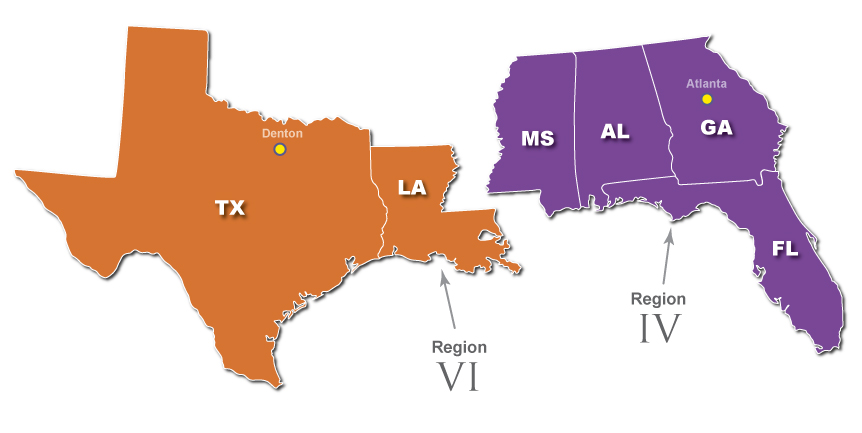
FEMA Region IV Coastal Study (Alabama, Florida, Mississippi)
FEMA Region VI Coastal Study (Louisiana, Texas)
For general information about the FEMA Regional offices responsible for managing the Gulf coastal flood studies, please visit the following websites:
FEMA Region IV (Alabama, Florida, Mississippi)
FEMA Region VI (Louisiana, Texas)
Additional technical information for the Gulf coast can be found at:
FEMA 550, Recommended Residential Construction for the Gulf Coast: Building on Strong and Safe Foundations, provides recommendations for rebuilding homes destroyed by hurricanes on the Gulf Coast.
For More Information
Find answers to many of your questions by visiting our Coastal Frequently Asked Questions page.
The Coastal Flood Risk Resources page, organized by resource type, contains links to useful fact sheets, flyers, brochures and other helpful documents produced by FEMA, other federal agencies, state agencies, water management districts and other entities.
Learn about what resources, grants and other information is available when Rebuilding After a Coastal Storm.
Subscribe to the Coastal Flood Risks email updates.