
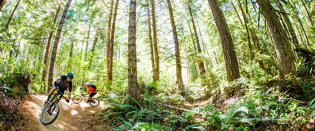
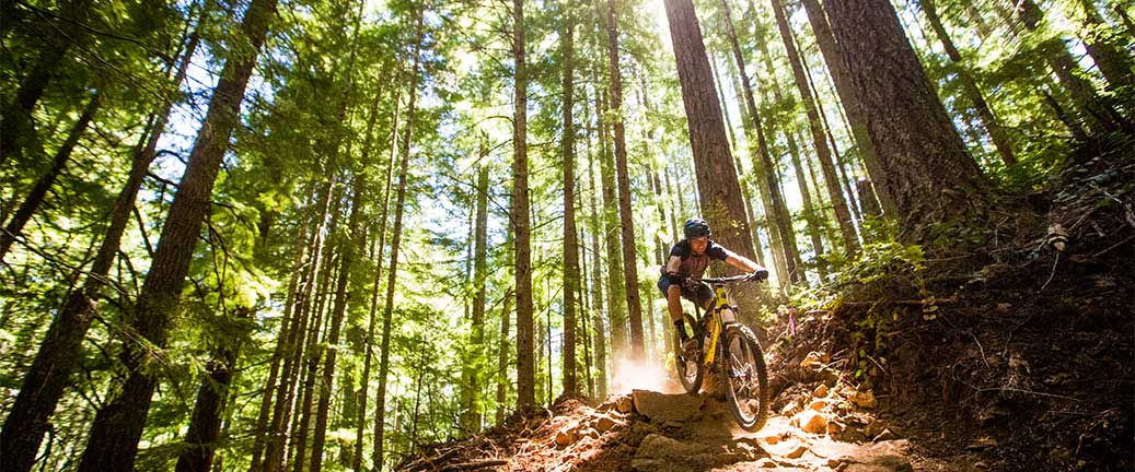


The Alsea Falls Trail System offers a connected network of roads and trails that currently provides a range of opportunities for mountain bikers. All trails are located between 800' and 1900' elevation, in a second growth forest surrounding Fall Creek, a tributary of the South Fork Alsea River.
The system includes several mountain bike "flow" trails that incorporate progressive trail design and construction techniques. Flow trails within the system maximize the fun of mountain biking by combining features like rolling terrain and banked turns. Upper trails within the system have been designed to provide challenging features such as steep rock chutes and plenty of trail texture achieved through the placement of technical rock features.


The BLM and MTB Project are Connecting with Communities through a National partnership to provide an interactive ride experience. MTB project hosts the next generation of mountain bike trail maps. Click the MTB Project icon to access all the information you’ll need to plan your next ride at the Alsea Falls Trail System.

Plan Your Visit
- Season Dates: January 1 - December 31
- Fee: None
- Size: 12.5 miles
- Elevation Gain/Loss: 1,850 feet
- Difficulty: Trails range from beginner to advanced
Beginning May 1, 2016, portions of the trail system will be temporarily closed Mondays through Fridays. The entire mountain bike trail system will be open to foot and bike traffic on Saturdays and Sundays. An alternate route will allow access the majority of the trail system during the temporary closure. Questions? Just give the Salem District a holler at (503) 375-5646.

