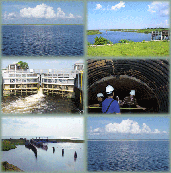
 The Water Management Section monitors and manages the multi-purpose operations of spillways, locks, pump stations, culverts, canals, reservoirs, and water conservation areas located in the Central and Southern Florida (C&SF) Project, the Four River Basins (FRB) Project, and the Portugues and Bucana (P&B) Rivers Project.
Our Daily Reports and Graphical Plots show current water level and flow data. Some graphical plots show near realtime data.
We acknowledge the cooperative efforts of the following federal and state agencies: U.S. Geological Survey, National Weather Service, Everglades National Park Service, South Florida Water Management District, St. Johns River Water Management District and Southwest Florida Water Management District.
The Okeechobee Waterway Spillway web cameras, can be found here.