

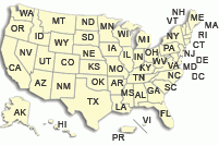
USGS Interactive Flood Maps
The most recent flood data available is presented here in an easy-to-use layout. Most areas are grouped by common drainage basins, but a few are determined by political boundaries, so some areas overlap others. Get the information you need by selecting from the list below:NOTICE: Currently, only the Amite and Comite Rivers, Ascension Parish, and the Shreveport Area are fully functional. The other areas are still under development and will be added as they are completed. These links will take you back to our home page for the time being.

