weather.gov
Home
News
Organization
Search
NWS
All NOAA
Local forecast by
"City, St" or zip code
Search by city or zip code. Press enter or select the go button to submit request
Current Hazards
Severe Storms
Tropical Weather
Submit Storm Report
Current Conditions
Cameras
Coop Observer Obs
Mesoscale Analysis
Radar
Rivers & Lakes
Road Conditions
Satellite
Snow Info
Spotter Reports
Forecasts
Activity Planner
Area Discussion
Aviation
Fire Weather
Lake Champlain
Mountain Wx
Severe Weather
Winter Weather
Mobile Wx
XML/RSS Feeds
Model Data
Bufkit
Lake Models
Local WRF Models
NCEP Models
Climate
Local
National
More...
Weather Safety
NOAA Wx Radio
Skywarn™
CoCoRaHS
Storm Ready
Miscellaneous
Canadian Weather
Office Staff
Past Wx Events
Publications
Warning Criteria
What's New
Contact Us
Warnings &
Forecasts
Graphical
Forecasts
Text
Products
Mountain
Forecast
Rivers &
Lakes
Radar
Imagery
Satellite
Imagery
Local
Climate
GOES New England Imagery
Infrared (IR)
Visible (VIS)
Water Vapor (WV)
Single Image
|
Loop
Single Image
|
Loop
Single Image
|
Loop
GOES National Imagery
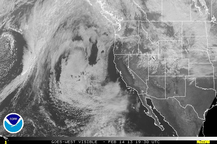
Western U.S.
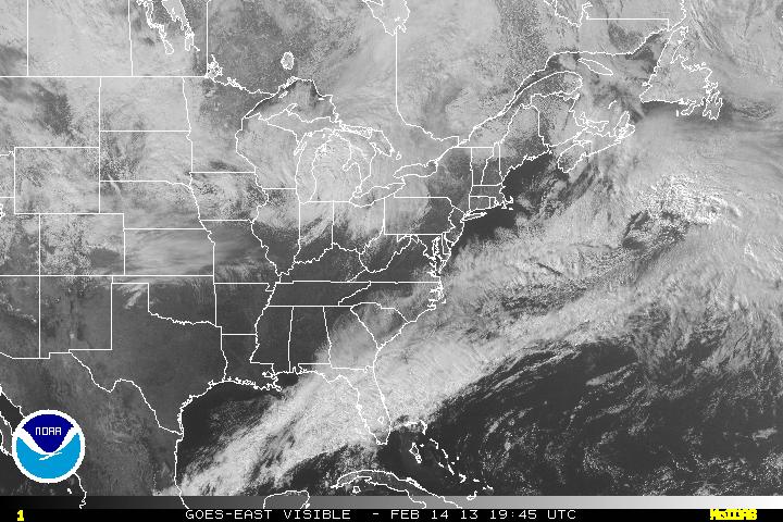
Eastern U.S.
IR
|
VIS
|
WV
IR
|
VIS
|
WV
IR Loop
|
VIS Loop
|
WV Loop
IR Loop
|
VIS Loop
|
WV Loop
GOES Tropical Atlantic Basin Imagery
Infrared (IR)
|
Visible (VIS)
|
Water Vapor (WV)
IR loop
|
VIS loop
|
WV loop
GOES Full Earth Imagery
Americas
Europe/Africa
Indian Ocean
Pacific
Infrared (IR)
|
Visibile (VIS)
Infrared (IR)
|
Visibile (VIS)
Infrared (IR)
|
Visibile (VIS)
Infrared (IR)
|
Visibile (VIS)
Other Satellite Links
Storm Centered Quikscat Imagery (Est oceanic surface winds for named tropical systems)
Worldwide Polar Orbiter Imagery (Hi-Res MODIS Imagery from the Terra and Aqua Polar Orbiters)
High Resolution Nighttime Fog and Low Cloud Images of the East Coast (NOAA AVHRR)
Latest hemispheric Sea Surface Temperatures
National Weather Service
Burlington
1200 Airport Drive
S. Burlington VT 05403
(802)862-2475
Webmaster:
Webmaster
Page last modified: July 17, 2008
About Us
Disclaimer
Credits
Career Opportunities
Glossary
Privacy Policy


