
IOOS in Action
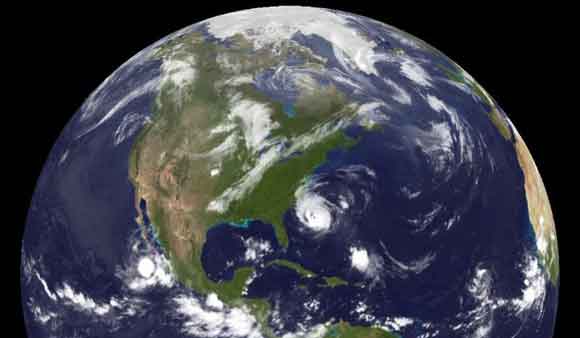 Our planet is constantly changing.
 The connections between these changes
 and our oceans, coasts and Great Lakes
 are complex and not fully understood
 Advanced tools are required
 in order to understand and monitor our marine and Great Lakes environments.
 U.S. Integrated Ocean Observing System delivers data and information needed
 so decision makers can take action
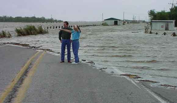
 to improve safety
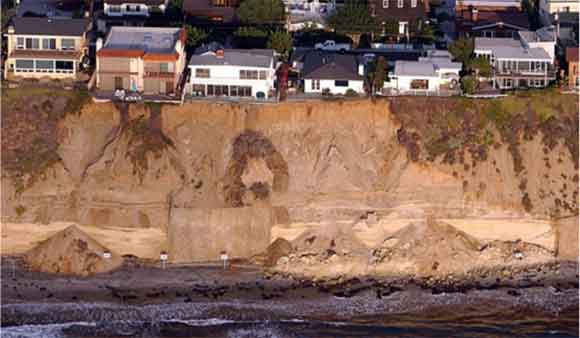
 enhance economy
 and protect the environment
Enhancing Lives and Livelihoods
U.S. IOOS delivers the data and information needed to increase understanding of our coastal waters, so that decision-makers can take action to improve safety, enhance the economy, and protect the environment. U.S. IOOS supplies critical information about our Nation’s waters. Scientists working to understand climate change, governments adapting to changes in the Arctic, municipalities monitoring local water quality, industries understanding coastal and marine spatial planning all have the same need: reliable and timely access to data and information that inform decision making.
Societal Benefits
Benefits to Lives and Livelihoods to learn how easier and better access to this information is improving our ability to:
 |
 |
 |
 |
 |
| Predict Severe Weather | Forecast Hazards | Detect Ocean Acidification | Improving Search and Rescue Times | Monitor Water Quality |
 |
||||
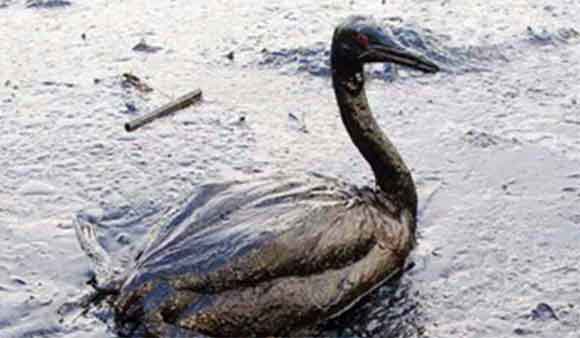
| Enhance Oil Spill Response |
Socio-Economic Benefits
 |
 |
 |
 |
| Improving search and rescue times | HF radar data - currents overlaid with oil coverage | CDIP Buoy off Kaumalapau Harbor | CDIP provides wave conditions |
 |
 |
 |
|||
| Sector Support (shellfish industry) | Safe Drinking Water | Increased Observations Improve Forecasts |
Benefits to Society
Read more about the accomplishements of the Integrated Ocean Observing System
News Splash
Highlights and recent activities in the U.S. Integrated Ocean Observing System
Multimedia
 Audio Podcasts:
Benefits of Ocean Observing Data?
Collecting Ocean Data with Marine Mammals - Scientists are enlisting marine mammals with electronic tags to collect critical ocean data from around the nation. NOAA's Integrated Ocean Observing System is working to standardize various tagging programs so researchers can better tap into this data stream.
Scarlet Knight, Ocean Glider Set to Attempt Atlantic Crossing - story, Podcast and more
U.S. IOOS® History
Timeline and an Archice of Foundational Documents