Useful Links

Forecast Models
1NCEP Models
5WAVEWATCH III
5About NHC Models

NWS Tropical Products Guide


Frequently Asked Questions

National Hurricane Center

Hazard Preparedness Information

Tropical Cyclone Probabilities

Other Hurricane Links

 
2012 Storm Names
Atlantic

Alberto
Beryl
Chris
Debby
Ernesto
Florence
Gordon
Helene
Isaac
Joyce
Kirk
Leslie
Michael
Nadine
Oscar
Patty
Rafeal
Sandy
Tony
Valerie
William

E. Pacific

Aletta
Bud
Carlotta
Daniel
Emilia
Fabio
Gilma
Hector
Ileana
John
Kristy
Lane
Miriam
Norman
Olivia
Paul
Rosa
Sergio
Tara
Vincente
Willa
Xavier
Yolanda
Zeke

Other Years
 
Storm Reports of Local Interest (all 2012 reports are prelimiary)

Isaac - August '12
Debby - June '12
Beryl - May '12
Ida - November '09
Claudette - August '09
Gustav - Sept. '08
Fay - August '08
TD 10 - Sept. '07
Barry - June '07
Alberto - June '06
Wilma - October '05
Katrina - August '05
Dennis - July '05
Cindy - July '05
Arlene - June '05
Jeanne - Sept. '04
Ivan - Sept. '04
Frances - Sept. '04
Charley - August '04
Bonnie - August '04
Henri - Sept. '03
Isidore - Sept. '02
Hanna - Sept. '02
Barry - August '01
Allison - June '01
Helene - Sept. '00
Gordon - Sept. '00
Georges - Sept. '98
Earl - Sept. '98
Josephine - October '96
Opal - October '95
Jerry - August '95
Erin - August '95
Allison - June '95
Kate - Nov. '85


Previous Storm Tracks
2011
2010
2009
2008
2007
2006
2005
2004
2003
2002
Previous Years
Historical Hurricane Track Search Tool

 2012 Atlantic Basin Hurricane Season

The graphical tropical weather outlook issued by the National Hurricane Center
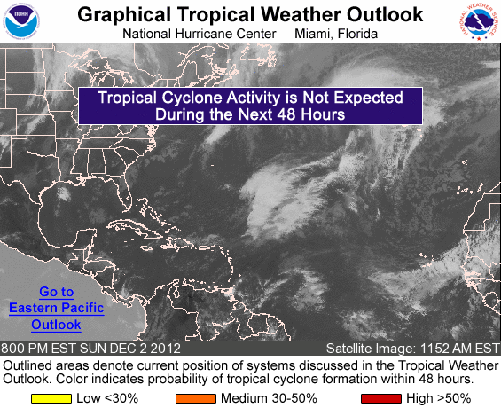
Click on the image above to jump to the Graphical Tropical Weather Outlook of the Atlantic Basin, including the Gulf of Mexico, that is produced by the National Hurricane Center.

This page is produced by the National Weather Service Office in Tallahassee, Florida. Below you will find current storm information for tropical weather activity in the Atlantic Basin.  Additional tropical storm information is also available from the National Hurricane Center and Southern Region Headquarters.


Atlantic Basin Storms

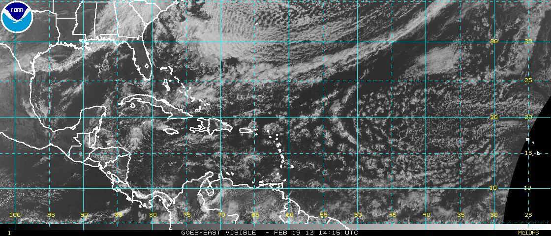
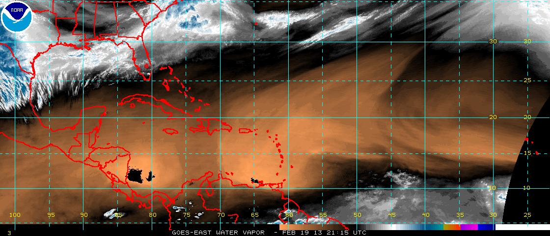
This post is not reporting tropical cyclone activity for the Atlantic basin


Daily Products
1Tropical Outlook (Graphic)
2Tropical Discussion
3Recon Plans & Data


Tropical Weather Summaries
1May-September
12011 Season Storm Reports


Eastern & Central Pacific Storms

1Tropical Outlooks [ Eastern (graphic) / Central]
2NOAA Satellite Imagery
3NHC Storm Updates
4CPHC Storm Updates


This service does not constitute an official source of NWS information and the information provided here may become unavailable at any time. This information shall not be modified in content and then presented as offical government material. A reference from a NWS web server to any non-government entity, product, service or information does not constitute an endorsement or recommendation.


Saffir-Simpson Hurricane Wind Scale
Category Winds
(mph)
Depression <39
Tropical Storm 39-73
Hurricane Cat. 1 74-95
Hurricane Cat. 2 96-110
Hurricane Cat. 3 111-129
Hurricane Cat. 4 130-156
Hurricane Cat. 5 >= 157
Effects & Damage Estimates.
 
  Radar Imagery

Pick an Individual U.S. Radar
National Mosaic
Belize
Mexico
Panama
Cuba
Bahamas
Dominican Republic
Puerto Rico & The Virgin Islands
The Antilles (French)
Guyana
Bermuda
Canadian Maritimes

 
  Marine Observations
NDBC's Buoy & CMAN Reports
 
  Land-based Observations
U.S. Reports
International Reports
 
  Satellite Imagery

Latest Floater Imagery

Tropical Atlantic Visible
Latest Visible Satellite Image over the Hurricane Sector
(Visible FLASH loop)

Tropical Atlantic Infrared
Latest IR Satellite Image over the Hurricane Sector
(IR FLASH loop)

 Tropical Atlantic WV
Latest Water Vapor Satellite Image over the Hurricane Sector
(WV FLASH loop)

  
red arrow bullet More NOAA Satellite Images  


USA.gov is the U.S. government's official web portal to all federal, state and local government web resources and services.