SURFACE | UPPER AIR | CAMERAS | WINTER DATA | ROAD CONDITIONS
| Latest Station Observations |
| Eastern Utah and Western Colorado |
| E Utah / SW Colorado |
Far W Colorado |
N Mtns / Continental Divide |
| Vernal, UT |
Craig, CO |
Hayden, CO |
| Price, UT |
Meeker, CO |
Mt. Werner, CO |
| Canyonlands Airport, UT |
Rifle, CO |
Steamboat Springs, CO |
| Hanksville, UT |
Grand Junction, CO |
Eagle, CO |
| Blanding, UT |
Delta, CO |
Aspen, CO |
| Cortez, CO |
Montrose, CO |
Leadville, CO |
| |
Telluride, CO |
Gunnison, CO |
| |
Durango, CO |
Wolf Creek Pass, CO |
| |
Pagosa Springs, CO |
|
| Other Utah Cities |
Other Colorado Cities |
Other States |
| Observations from Mesowest |
Observation Handbook |
|
| Statewide Hourly Observations |
|
| Colorado |
Utah |
Arizona |
| New Mexico |
Wyoming |
Other States |
| |
|
|
|
Current Weather
|
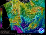
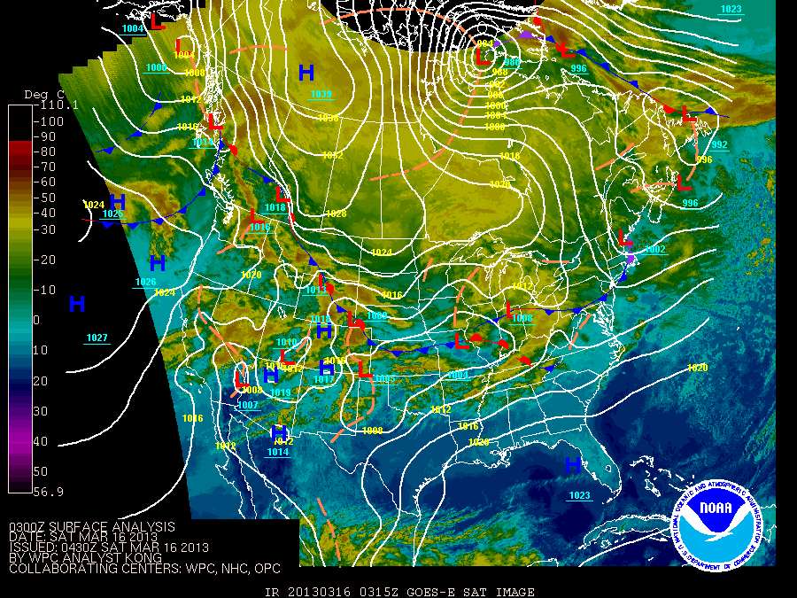
Surface Analyses
|
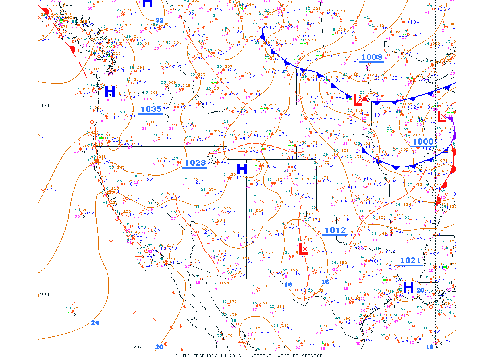
Latest Surface Observations
|
|
|
 |
 |
|
|
|
| Text Products / Additional Information / Terms |

