
California-Nevada Fault Map for Parkfield
This webpage is being phased out and is no longer maintained. Please use the new Real-time Earthquake Map instead and update your bookmark. See Quick Tips & User Guide.
Instructions
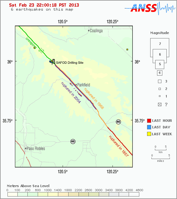
- Click on an earthquake or fault for more information.
- Click on blue arrows around map to see next map in that direction.
- Did You Feel It? - Report an earthquake
Tips
- Red lines are known faults (orange lines are unnamed faults).
- Thin grey lines are roads.
- Magnitude = ? for new earthquakes until a magnitude is determined (takes 4-5 minutes).
- Earthquakes can appear near a fault without having occurred on that fault. To associate an earthquake with a fault requires viewing both of them in three-dimensions.
- Maps show events recorded in the past 7 days.
- Maps are updated whenever a new earthquake has been located. Try to reload this page if you do not have the most current map.
