- Home
- GPM
- TRMM
-
Science
- Science Overview
- Research Topics
- Storm Structure and Mesoscale Dynamics
- Precipitation Microphysics
- Global Water Cycle
- Climate Change
- Precipitation Algorithms
- Radar Algorithms
- Radiometer Algorithms
- Combined Algorithms
- Multi-Satellite Algorithms
- Applications
- Meetings
- Data Access
- Resources
- Education
Agriculture
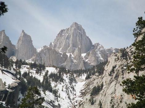
According to the California Department of Water Resources, about 65 percent of California’s water supply comes from the Sierra Nevada mountains’ snowpack. Winter rain and snow replenish rivers and groundwater for the year. The amount of snow and when it melts in the spring directly affects how much water is available to cities and to the agricultural industries of the Central Valley. Like all agricultural communities, the Central Valley’s climate, weather and local precipitation all directly impact crop conditions and progress over the growing season. Specifically, the agricultural community needs to know the timing and amount of rain or snow to forecast crop yields as well as any freshwater shortages that might affect irrigation and production.
The U.S. Department of Agriculture (USDA) is collaborating with NASA and the USDA Foreign Agricultural Service (FAS) to use satellites to monitor agriculture worldwide. With their global coverage, satellites can locate and follow the results of natural disasters such as short- and long-term droughts, floods and persistent snow cover that each affect agricultural productivity. The monitoring network uses TRMM precipitation estimates to determine the extent and availability of surface rainfall over farm and ranch land. The 2-4 hourly GPM global precipitation estimates over land help to improve the U.S. Air Force Weather Agency's AGRicultural METeorology (AGRMET) model, which evaluates and forecasts rain and snow estimates to use within hydrologic models.
SHARE THIS ARTICLE
Published On:
03/24/2011 - 1:27pm


