Skip Navigation
NOAA
weather.gov
National Weather Service Weather Forecast Office
Houston/Galveston, TX
Home
Site Map
News
Organization
Search for:
NWS
All NOAA
Local forecast by
"City, St" or Zip Code
RSS Feeds
Current Hazards
Local
Nationwide
Outlooks
Storm Prediction Center
Forecasts
Local
Forecast Discussion
Activity Planner
Graphical
Tropical Weather
Fire Weather
Aviation Weather
Marine Weather
Model Data
Drought
GraphiCasts
Multimedia
Current Weather
Observations
Satellite Images
Rivers/Lakes
Radar Imagery
Nationwide
Houston/Galveston
Climate
Local
National
More...
Graphs/Norm/Record
Weather Safety
Get Prepared
Weather Radio
SKYWARN
Storm Signals Newsletter
More Weather Radio
Severe Weather Awareness
Additional Info
Major Events
Miscellaneous Info
Other Links
About Our Office
Social Media
Facebook
Twitter
You are at
NWS Houston/Galveston
»
Satellite Images
Satellite Images
{{ Note: You must have JavaScript enabled for this page to function properly! }}
Latest imagery from the GOES East and GOES West satellites:
Visible
Infrared (Color)
Infrared (B/W)
Water Vapor
Latest Image
Loop-small
Loop-big
Western U.S.
or
Eastern U.S.
image with overlay of
LIFR
,
IFR
,
MVFR
, and VFR icons.
International imagery on ICAO projections
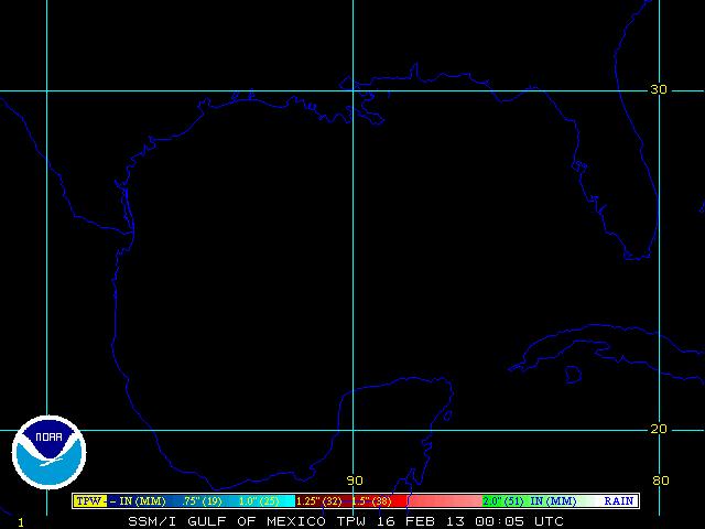
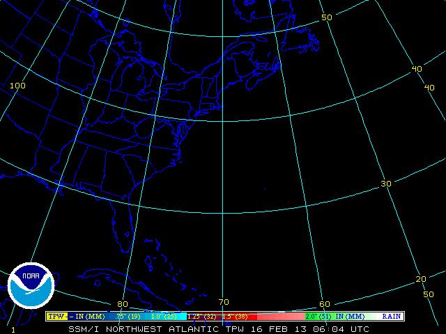
Tropical Satellite Imagery
Atlantic
Ocean
Satellite
Imagery
Gulf of Mexico
Northwest
Atlantic
Western Atlantic/
Caribbean
Eastern Atlantic
Visible
Image
|
Loop
Image
|
Loop
Image
|
Loop
Image
|
Loop
Infrared
Image
|
Loop
Image
|
Loop
Image
|
Loop
Image
|
Loop
Water Vapor
Image
|
Loop
Image
|
Loop
Image
|
Loop
Image
|
Loop
Precipitable
Water
DMSP
Image
|
Loop
Image
|
Loop
Image
|
Loop
Image
|
Loop
AMSU
Image
|
Loop
Image
|
Loop
Image
|
Loop
Image
|
Loop
Rain Rate
DMSP
Image
|
Loop
Image
|
Loop
Image
|
Loop
Image
|
Loop
AMSU
Image
|
Loop
Image
|
Loop
Image
|
Loop
Image
|
Loop
Sfc Winds
DMSP
Image
|
Loop
Image
|
Loop
Image
|
Loop
Image
|
Loop
Pacific
Ocean
Satellite
Imagery
Northeast Pacific
Central Pacific
Eastern Pacific
Floater
Image
(Atlantic
or
Pacific)
Visible
Image
|
Loop
Image
|
Loop
Image
|
Loop
Image
|
Loop
Infrared
Image
|
Loop
Image
|
Loop
Image
|
Loop
Image
|
Loop
Water Vapor
Image
|
Loop
Image
|
Loop
Image
|
Loop
Image
|
Loop
Precipitable
Water
DMSP
Image
|
Loop
Image
|
Loop
Image
|
Loop
AMSU
Image
|
Loop
Image
|
Loop
Image
|
Loop
Rain Rate
DMSP
Image
|
Loop
Image
|
Loop
Image
|
Loop
AMSU
Image
|
Loop
Image
|
Loop
Image
|
Loop
Sfc Winds
DMSP
Image
|
Loop
Image
|
Loop
Image
|
Loop
Broader Tropical Views
Visible
Atlantic
Pacific
Infrared
Atlantic
Pacific
Color enhanced IR
Atlantic
|
Loop
Pacific
|
Loop
Water Vapor
Atlantic
Pacific
Additional Satellite Links...
NOAA NESDIS Experimental Flash Flood Products:
CONUS
|
Puerto Rico
QuikSCAT Winds:
Imagery
|
Background info
Global Hydrology and Climate Center
Naval Research Laboratory - Monterey Satellite Imagery
NOAA/NESDIS Visualization Laboratory
(enhanced and NOAA Imagery fused with environmental data sets or modeled output.)
Tropical Wave Tracking
from the Cooperative Institute for Meteorological Satellite Studies (Univ. Wisconsin)
Tropical RAMSDIS Online
(includes JavaScript animations)
Experimental Tropical Cyclone Products
from the NOAA-15 Advanced Microwave Sounder Unit
NOAA's Geostationary Satellite Server
Current GOES West Satellite Imagery for the Hawaiian Islands
from the University of Hawaii
Old HGX Satellite Webpage
National Weather Service
Houston/Galveston, TX Weather Forecast Office
1353 FM 646 Suite 202
Dickinson, TX 77539
281-337-5074
Page Author: HGX Webmaster
Web Master's E-mail:
sr-hgx.webmaster@noaa.gov
Page last modified: July 17th 2011 1:49 PM
Disclaimer
Credits
Glossary
Privacy Policy
About Us
Career Opportunities