Severe Weather 101
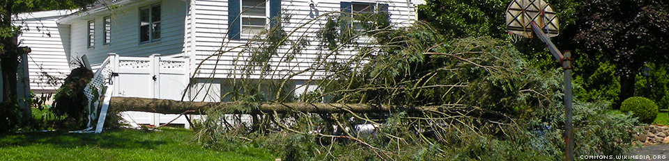
Detection of Damaging Winds
Doppler radar is a critical tool for damaging wind detection because these hazards have certain patterns in the data collected near the surface and in middle levels of the storm.
Sometimes a thin line appears on the radar display indicating a gust front. A well-defined gustfront/outflow boundary was associated with later tornado formation in this Missouri storm.

Doppler radar display showing a gust front in reflectivity (left) and velocity data (right)
Doppler radar velocity data can show areas of diverging winds at the surface, and even the strength of those winds, indicating a downburst or microburst.
Winds coming together at upper levels of the storm (convergence) can also be seen on velocity displays, and can indicate the development of a downburst or microburst.
What we do: NSSL researchers study damaging wind events when they occur close to the experimental Multi-function Phased Array Radar. The ability to rapidly detect microbursts before they impact the ground is critical for aviation safety. In one case, MPAR captured 29 clear images and more data during the time it took current radar for 6 images.
The Damaging Downburst Prediction and Detection algorithm developed at NSSL detected a moderately strong microburst in progress with winds estimated between 35–58 mph and predicted a severe microburst greater than 58 mph.
NSSL's Haboob Algorithm runs on NSSL's Multi-Radar Multi-Sensor system at Arizona's Salt River Project (SRP), and automatically monitors the radar for thunderstorms reaching thresholds that could result in outflows producing strong surface winds and blowing dust. When thresholds are reached, SRP operational personnel receive an alert to prepare for the impact of wind loading on SRP power poles and substations.