| Fluxnet Information | |
|---|---|
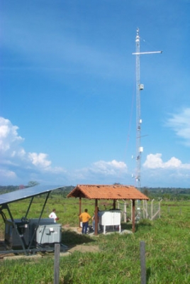
| Site Name: | Santarem-Km77-Pasture |
| Description: | The entrance to the pasture site is at km 77 and in the Fazenda of Sr. Farias |
| Status: | Inactive, core measurements no longer being made |
| Country: | Brazil |
| Fluxnet Site Code: | BR-Sa2 |
| Location Information | |
|---|---|
| Country: | Brazil |
| Coordinates: (Lat, Long) | -3.0118955, -54.53652 |
| Investigator Information | |
|---|---|
| Investigator: | David Fitzjarrald fitz@asrc.cestm.albany.edu State University of New York - Albany Atmospheric Sciences Research Center 251 Fuller Road Albany, NY 12054 518-437-8735 |
| Affiliation Information | |
|---|---|
| Affiliation Name: | Unaffiliated |
| Affiliation Name: | LBA |
| Site Information | |
|---|---|
GTOPO30 Elevation : : | 37m |
| IGBP Land Use: | Evergreen Broadleaf Forest |
| UMD Land Use: | Evergreen Broadleaf Forest |
| NPP Land Cover: | Evergreen Broadleaf Vegetation |
| KGCC: | Am - Equatorial monsoon |
| LAI F/PAR Land Use: | Evergreen Broadleaf Forest |
| Investigator Provided Vegetation Type: | Pasture |
| Plant Functional Type: | Evergreen Broadleaf Trees |
| Data Repository Information | |
|---|---|
| Data Collection Timeframe: | 1999-2006 |
| LBA: | http://www.lbaeco.org/lbaeco/data.htm |
| Links to Additional Site Related Information | |
|---|---|
| MODIS Visualization: | http://daac.ornl.gov/cgi-bin/MODIS/GR_col5_1/siteselection.pl?now3=get_site_table_2&siteid=84 |
| External Web Site: | http://www.lbaeco.org/lbaeco/ |
| ALOS-PALSAR Synthetic Aperture RADAR subsets: | ftp://daac.ornl.gov/data/eos_land_val/sar_subsets/data/Santarem_Km77-Pasture.zip |
| LBA Site: | http://www.lbaeco.org/lbaeco/ |
| Investigator Information | |
|---|---|
| Investigator: | David Fitzjarrald fitz@asrc.cestm.albany.edu State University of New York - Albany Atmospheric Sciences Research Center 251 Fuller Road Albany, NY 12054 518-437-8735 |
| Location Information | |
|---|---|
| Country: | Brazil |
| Coordinates: (Lat, Long) | -3.0118955, -54.53652 |
| Affiliation Information | |
|---|---|
| Affiliation Name: | Unaffiliated |
| Affiliation Name: | LBA |
| Site Information | |
|---|---|
| GTOPO30 Elevation: | 37m |
| IGBP Land Use: | Evergreen Broadleaf Forest |
| UMD Land Use: | Evergreen Broadleaf Forest |
| NPP Land Cover: | Evergreen Broadleaf Vegetation |
| KGCC: | Am - Equatorial monsoon |
| LAI F/PAR Land Use: | Evergreen Broadleaf Forest |
| Investigator Provided Vegetation Type: | Pasture |
| Plant Functional Type: | Evergreen Broadleaf Trees |
| Data Repository Information | |
|---|---|
| Data Collection Timeframe: | 1999-2006 |
| LBA: | http://www.lbaeco.org/lbaeco/data.htm |
| Links to Additional Site Related Information | |
|---|---|
| MODIS Visualization: | http://daac.ornl.gov/cgi-bin/MODIS/GR_col5_1/siteselection.pl?now3=get_site_table_2&siteid=84 |
| External Web Site: | http://www.lbaeco.org/lbaeco/ |
| ALOS-PALSAR Synthetic Aperture RADAR subsets: | ftp://daac.ornl.gov/data/eos_land_val/sar_subsets/data/Santarem_Km77-Pasture.zip |
| LBA Site: | http://www.lbaeco.org/lbaeco/ |
| Tower Site Information Disclaimer |
|---|
| Information displayed has been gathered from regional network websites and/or personal communication with investigators. If you have found an error, please send us an email with a description of the error. |
|