|
February 11, 2013 - To date, calendar year 2013 has been quite wet
in central and southern Virginia where precipitation has been 1 to 3
inches above normal. Elsewhere, precipitation has been about normal
plus or minus an inch or so. Likewise, over the past 90 days,
precipitation has been generally near normal plus or minus an inch or
two.
Current (February 11) streamflow data from the U.S. Geological
Survey shows that streamflows are generally normal with above normal
flows in central Maryland and below normal flows in central Virginia.
Groundwater levels are generally near normal.
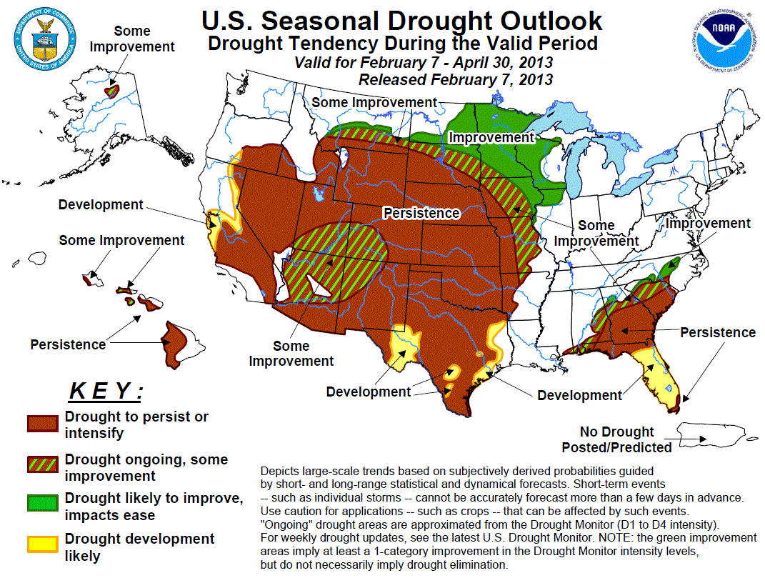
The US Drought Monitor, as of February 5, indicates that drought
conditions have eased in all areas due to recent rainfall. The state
of Virginia has posted a drought watch for the Appomattox River Basin
and the upper and middle James River region. Drought declarations, if
any, are declared by individual states.
Minimal snow amounts of 4 (along with isolated areas of up to 8)
inches are on the ground in far western Maryland. Little or none is
on the ground elsewhere. Snow water equivalent, or the amount of
water that will be released from the snow when it melts, is 1/2 to 1
inch in far western Maryland and adjoining parts of West Virginia.
This snow water equivalent is considered to be hydrologically
insignificant.
The weather outlook through most of the rest of February calls for,
on average, normal precipitation along with near or below average
temperatures. The Climate Prediction Center's 30 day outlook for
February as well as the 90 day outlook for February through April
calls for near average precipitation and temperatures.
The outlook for water resources for the next several weeks looks
good to very good. Significant rainfall recently has helped to
alleviate much of the dry conditions in central Virginia. With near
average precipitation expected, continued improvement is also
expected. However, a return to dry weather could reverse the trend of
improvement in the most vulnerable areas such as central Virginia and
even parts of the Delmarva Peninsula. In fact, streamflows have
already fallen back below normal in central Virginia. Water supplies
and resources are expected to remain sufficient to abundant for the
next several weeks.
In summary, the southern portion of the MARFC service area has
sufficient to abundant water resources and water supplies. These
water resources are likely to increase in the upcoming weeks. With
near normal precipitation expected, water resources should remain
sufficient or abundant and no water shortages are expected at least
for the next several weeks. Improvement has occurred in Virginia and
should continue with normal precipitation, but is most vulnerable
should an extended dry period occur.
End. |


