- Current Hazards
- Forecasts
- Current Weather
- Radar Imagery
- Climate
- Weather Safety
- Additional Info
- Contact Us
| Tropical Atlantic Basin | ||||||||||||||||||||||||
 |
||||||||||||||||||||||||
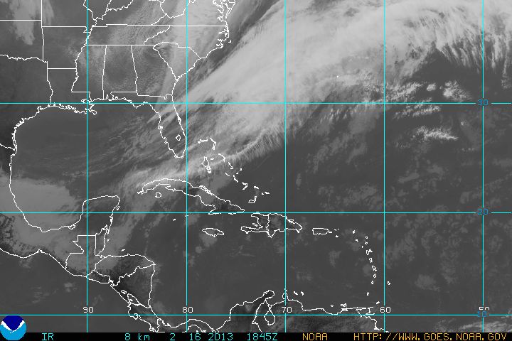
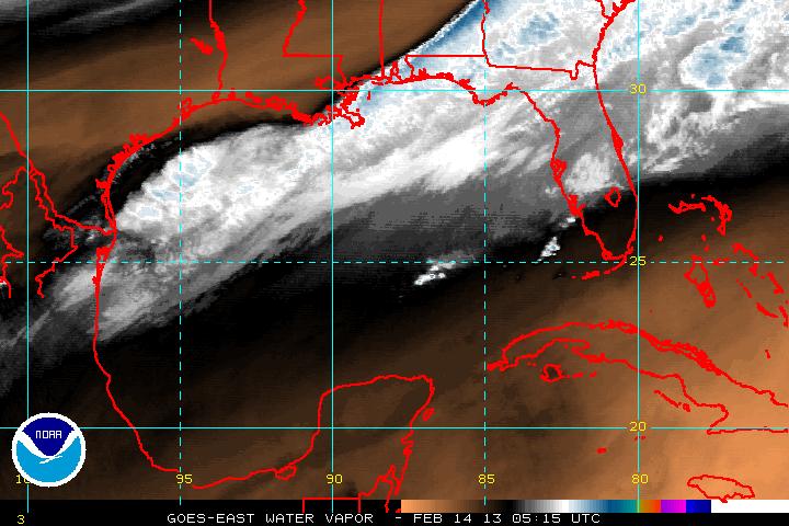
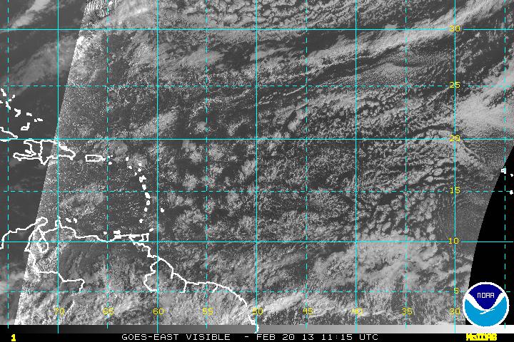
| Infrared (IR) | Visible (VIS) | Water Vapor (WV) IR loop | VIS loop | WV loop |
||||||||||||||||||||||||
|
||||||||||||||||||||||||
|
||||||||||||||||||||||||
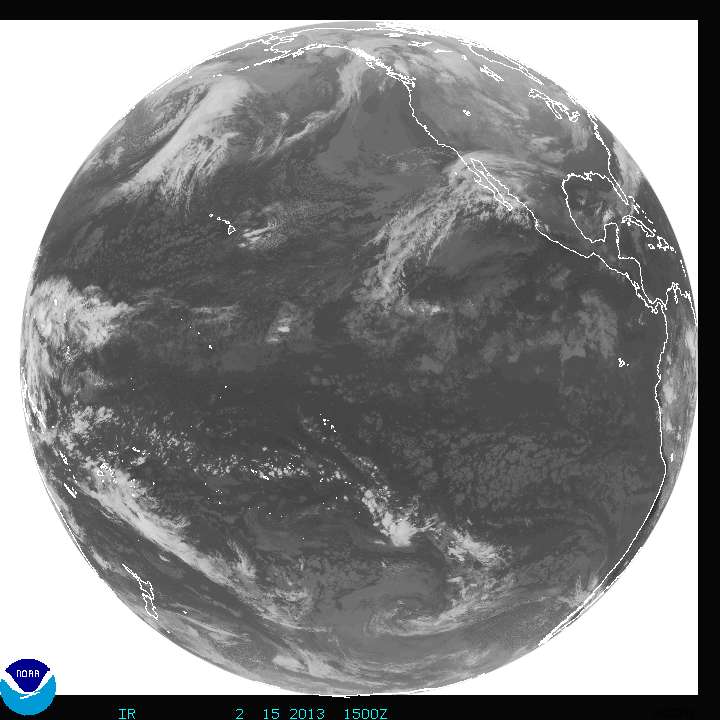
| Custom High Resolution Satellite Imagery (courtesy of NASA) | ||||||||||||||||||||||||
| Visible | Infrared | Water Vapor |


GOES Operational Status Bulletins
- National Weather Service
- Miami - South Florida Weather Forecast Office
- 11691 SW 17th Street
- Miami, FL 33165
- 305-229-4522
- Page Author: MFL Webmaster
- Web Master's E-mail: sr-mfl.webmaster@noaa.gov
- Page last modified: January 26th 2009 5:25 PM